Wayside shrine
Location: Engelhartstetten
GPS coordinates: 48.18727,16.96423
Latest update: November 14, 2025 17:06
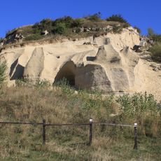
Sandberg
1.7 km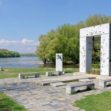
Memorial of Iron Curtain
1.7 km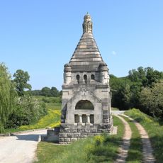
Marchdammkapelle Markthof
388 m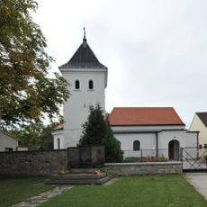
Pfarrkirche Markthof
960 m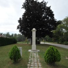
Pranger/ Pfeiler
811 m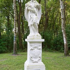
Hl. Johannes Nepomuk
499 m
Scenic viewpoint
1.6 km
Scenic viewpoint
1.7 km
Work of art, sculpture
1.3 km
Sculpture, Work of art
1.3 km
Work of art, sculpture
1.3 km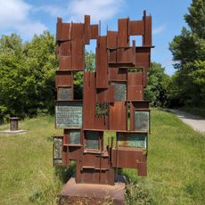
Pomnik żelaznej kurtyny
1.6 km
Meditation maze
1.4 km
Scenic viewpoint
1.5 km
Sokoliareň a minozoo Devín
1.6 km
Scenic viewpoint
1.6 km
Scenic viewpoint
1.4 km
Májka fialová
1.3 km
Scenic viewpoint
1.4 km
Scenic viewpoint
1.7 km
Scenic viewpoint
1.4 km
Scenic viewpoint
1.5 km
Scenic viewpoint
1.7 km
Pamätník vojakom Červenej armády
1.1 km
Hl. Johannes Nepomuk
505 m
Wayside cross
1 km
Memorial, commemorative plaque
1.4 km
Memorial, commemorative plaque
1.1 kmReviews
Visited this place? Tap the stars to rate it and share your experience / photos with the community! Try now! You can cancel it anytime.
Discover hidden gems everywhere you go!
From secret cafés to breathtaking viewpoints, skip the crowded tourist spots and find places that match your style. Our app makes it easy with voice search, smart filtering, route optimization, and insider tips from travelers worldwide. Download now for the complete mobile experience.

A unique approach to discovering new places❞
— Le Figaro
All the places worth exploring❞
— France Info
A tailor-made excursion in just a few clicks❞
— 20 Minutes