Wayside shrine
Location: Sieghartskirchen
GPS coordinates: 48.20138,16.01608
Latest update: November 12, 2025 00:19
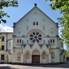
Annunziatakloster Am Stein, Maria-Anzbach
3.4 km
Burgruine Kogl
3.3 km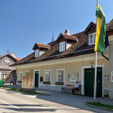
Wienerwaldmuseum Eichgraben
3.3 km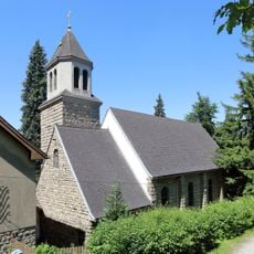
Dollfuß-Gedächtniskirche hl.Theresia vom Kinde Jesu
2.6 km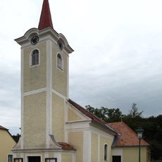
Kath. Filialkirche hl. Rochus - Kogl
3.4 km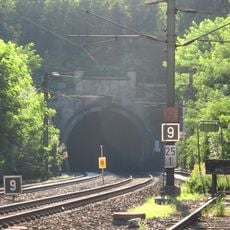
Rekawinkler Tunnel
2.6 km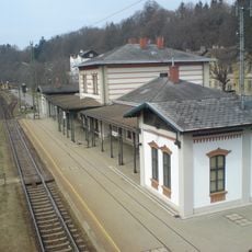
Station building Rekawinkel
2.6 km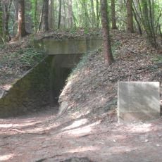
Hügelgrab Bei den Drei Wassern
1.4 km
Kindergarten
3.6 km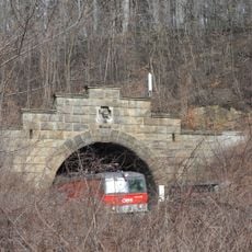
Dürreberg Tunnel
3.2 km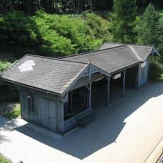
Waiting room and pedestrian crossing at Rekawinkel station
2.7 km
Archaeological site
3.3 km
Jesus am Kreuz
3.3 km
Tourist attraction, archaeological site
1.4 km
Prix-Denkmal
2.3 km
Wayside cross
2.6 km
Christus-Statue
3.4 km
Memorial
3.4 km
Christianity, wayside shrine
1.4 km
Archaeological site
2.1 km
Bildbaum
3.2 km
Wayside shrine, Christianity
2.5 km
Wayside cross, Christianity, Catholic church building
3.6 km
Rotes Kreuz
1.7 km
Wayside shrine, Christianity
1.6 km
Bunker
3.1 km
Wayside cross
2.6 km
Christianity, wayside shrine
2.4 kmReviews
Visited this place? Tap the stars to rate it and share your experience / photos with the community! Try now! You can cancel it anytime.
Discover hidden gems everywhere you go!
From secret cafés to breathtaking viewpoints, skip the crowded tourist spots and find places that match your style. Our app makes it easy with voice search, smart filtering, route optimization, and insider tips from travelers worldwide. Download now for the complete mobile experience.

A unique approach to discovering new places❞
— Le Figaro
All the places worth exploring❞
— France Info
A tailor-made excursion in just a few clicks❞
— 20 Minutes