Wayside cross
Location: Raabs an der Thaya
GPS coordinates: 48.86412,15.42839
Latest update: November 11, 2025 21:07

Kath. Pfarrkirche hl. Nikolaus
121 m
Pfarrkirche Obergrünbach
2 km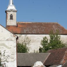
Ortskapelle hl. Laurenz, Liebnitz
2.2 km
Friedhofsportal mit Figurenbekrönung
2 km
Ruine Buchenstein
2.2 km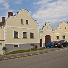
Bauernhaus
2 km
Hangenstein
2.1 km
Straßenstück der L8065, KG Alberndorf
1.9 km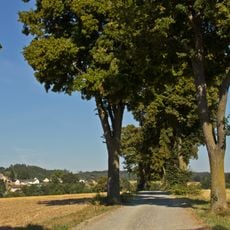
Straßenstück der L8065, KG Speisendorf
1.2 km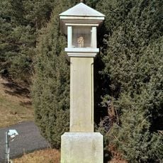
Wayside shrine
2.3 km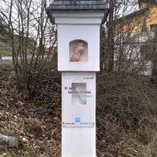
Wayside shrine
2.2 km
Wayside cross
1.3 km
Zach Kreuz
1.8 km
Dreifaltigkeitsmarterl
1.9 km
Insektenhotel
1.2 km
Wayside cross
1.5 km
Wayside shrine
2.1 km
Wayside shrine
2.1 km
Annamarter
2.3 km
Marterl vor Prokophaus
2.2 km
Scenic viewpoint
2.2 km
Wayside cross
364 m
Wayside cross
817 m
Friedhofskreuz
224 m
Wayside cross
1.4 km
Wayside shrine, Christianity
1.7 km
Wayside cross
1.2 km
Schmid Marterl
1.3 kmReviews
Visited this place? Tap the stars to rate it and share your experience / photos with the community! Try now! You can cancel it anytime.
Discover hidden gems everywhere you go!
From secret cafés to breathtaking viewpoints, skip the crowded tourist spots and find places that match your style. Our app makes it easy with voice search, smart filtering, route optimization, and insider tips from travelers worldwide. Download now for the complete mobile experience.

A unique approach to discovering new places❞
— Le Figaro
All the places worth exploring❞
— France Info
A tailor-made excursion in just a few clicks❞
— 20 Minutes