Wayside shrine
Location: Rožmberk nad Vltavou
GPS coordinates: 48.65241,14.36444
Latest update: November 12, 2025 22:08
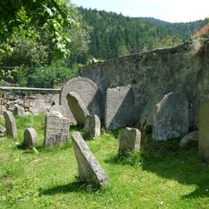
Old Jewish cemetery in Rožmberk nad Vltavou
195 m
John of Nepomuk column in Rožmberk nad Vltavou
291 m
Dům čp. 88
272 m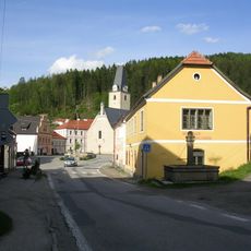
Dům čp. 82 - restaurace U pana Lukáše
234 m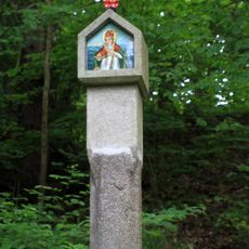
Boží muka
34 m
Dům čp. 63
178 m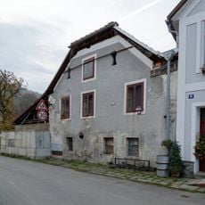
Rožmberk nad Vltavou čp. 84
308 m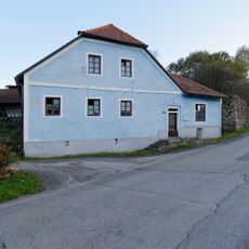
Rožmberk nad Vltavou čp. 49
106 m
Dům čp. 72
281 m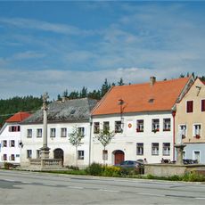
Dům čp. 73
294 m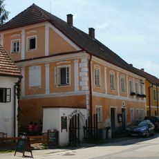
Rožmberk nad Vltavou čp. 91
255 m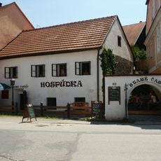
Dům čp. 90
261 m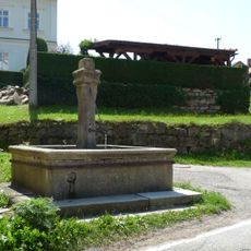
Kašna
224 m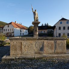
St. Florian Fountain in Rožmberk nad Vltavou
307 m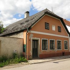
Dům čp. 62
172 m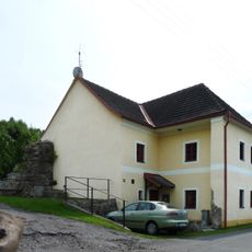
Dům čp. 103
204 m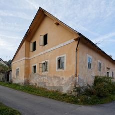
Rožmberk nad Vltavou čp. 31
271 m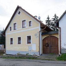
Rožmberk nad Vltavou čp. 107
247 m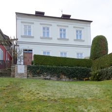
Rožmberk nad Vltavou čp. 38
205 m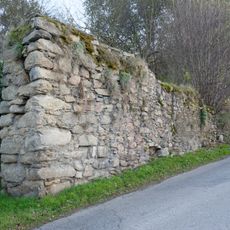
City walls of Rožmberk nad Vltavou
192 m
Dům čp. 71
274 m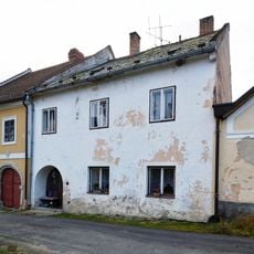
Rožmberk nad Vltavou čp. 27
298 m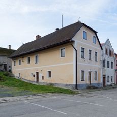
Rožmberk nad Vltavou čp. 87
277 m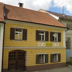
Dům čp. 64
186 m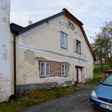
Rožmberk nad Vltavou čp. 28
291 m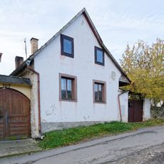
Rožmberk nad Vltavou čp. 106
238 m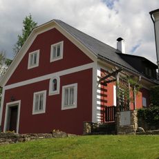
Dům čp. 37
218 m
Sv. Jan Nepomucký
292 mReviews
Visited this place? Tap the stars to rate it and share your experience / photos with the community! Try now! You can cancel it anytime.
Discover hidden gems everywhere you go!
From secret cafés to breathtaking viewpoints, skip the crowded tourist spots and find places that match your style. Our app makes it easy with voice search, smart filtering, route optimization, and insider tips from travelers worldwide. Download now for the complete mobile experience.

A unique approach to discovering new places❞
— Le Figaro
All the places worth exploring❞
— France Info
A tailor-made excursion in just a few clicks❞
— 20 Minutes