Wayside cross, Catholic church building
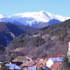
Location: Lus-la-Croix-Haute
GPS coordinates: 44.69298,5.68235
Latest update: December 2, 2025 23:53
Jocou
4.5 km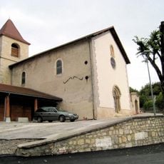
Église saints Pierre et Paul (Glandage)
6.7 km
Ancienne commanderie des Templiers
3.5 km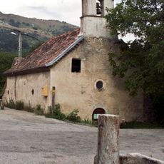
Église Saint-Jean-Baptiste de Grimone
3.7 km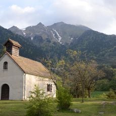
Chapelle Notre-Dame-du-Bon-Secours de Lalley
7.2 km
Le Rognon
4.6 km
Serre Peyère
6.6 km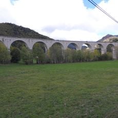
Fauries Viaduct
817 m
Sommet de l'Aup
5.6 km
Ranc de Mianoux
7 km
Scenic viewpoint
6.8 km
Scenic viewpoint
5.9 km
Scenic viewpoint
4 km
Scenic viewpoint
4.6 km
Work of art, sculpture
7 km
Scenic viewpoint
4.5 km
Wayside cross
4.3 km
Ancienne commanderie des Templiers
3.5 km
Wayside cross
952 m
Wayside cross, Catholic church building
3.4 km
Wayside cross
535 m
Robert Dudley Taylor
1.3 km
Stèle à Jean Gayvallet et Louis Picard
4.1 km
Ruins
7 km
Wayside cross
6.8 km
Memorial, war memorial
6.7 km
Memorial, commemorative plaque
4.4 km
Memorial
2.7 kmVisited this place? Tap the stars to rate it and share your experience / photos with the community! Try now! You can cancel it anytime.
Discover hidden gems everywhere you go!
From secret cafés to breathtaking viewpoints, skip the crowded tourist spots and find places that match your style. Our app makes it easy with voice search, smart filtering, route optimization, and insider tips from travelers worldwide. Download now for the complete mobile experience.

A unique approach to discovering new places❞
— Le Figaro
All the places worth exploring❞
— France Info
A tailor-made excursion in just a few clicks❞
— 20 Minutes