Catholic church building, wayside cross
Location: Saint-Just-sur-Viaur
GPS coordinates: 44.12177,2.35772
Latest update: November 20, 2025 00:45
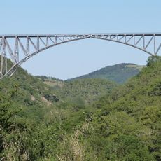
Viaur Viaduct
2.1 km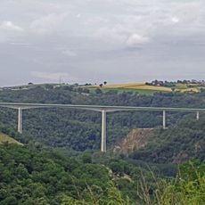
Viaduc routier du Viaur
3.8 km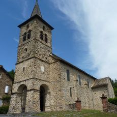
Église Saint-Just de Saint-Just-sur-Viaur
867 m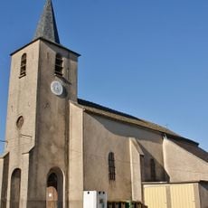
Église Saint-Blaise de Tréban
3.3 km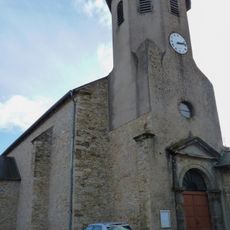
Église Saint-Amans de Lentin
4.9 km
Ferme de Lascroux
2.4 km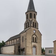
Saint Martianne church in Tanus
3.8 km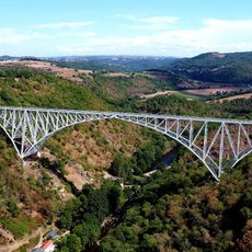
Viaduc Ferroviaire du Viaur
2.1 km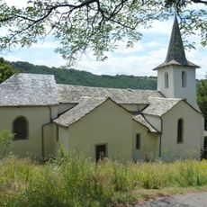
Chapelle Notre-Dame de Roucayrol
141 m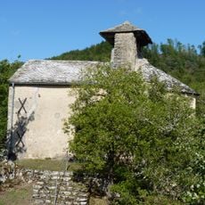
Chapelle de Notre-Dame du Roc de Saint-Just-sur-Viaur
3.1 km
Scenic viewpoint
3.5 km
Roc de l'Aigle
4.5 km
Viaduc ferroviaire du VIAUR
3 km
Viaduc du Viaur
2.2 km
Wayside cross
2.2 km
Croix de Peyrou
3.3 km
Triangulation station, wayside cross, survey marker
1.7 km
Survey marker, triangulation station, wayside cross
3.3 km
Buste de Paul Bodin
2.1 km
Wayside cross
2.6 km
Roc de Miramont
3.5 km
Installation artwork, Work of art
2.2 km
Wayside cross
2.7 km
Wayside cross
3 km
Wayside cross
2.9 km
Wayside cross
4.9 km
Wayside cross
3.2 km
Waterfall
4.2 kmVisited this place? Tap the stars to rate it and share your experience / photos with the community! Try now! You can cancel it anytime.
Discover hidden gems everywhere you go!
From secret cafés to breathtaking viewpoints, skip the crowded tourist spots and find places that match your style. Our app makes it easy with voice search, smart filtering, route optimization, and insider tips from travelers worldwide. Download now for the complete mobile experience.

A unique approach to discovering new places❞
— Le Figaro
All the places worth exploring❞
— France Info
A tailor-made excursion in just a few clicks❞
— 20 Minutes