Catholic church building, wayside cross
Location: Saint-Cierge-la-Serre
Made from material: metal
GPS coordinates: 44.79302,4.68359
Latest update: December 3, 2025 14:16

Pont sur l'Eyrieux
3.9 km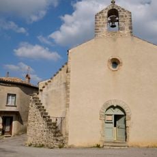
Church of Saint-Vincent-de-Durfort
3.4 km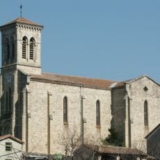
Église Saint-François-Régis des Ollières-sur-Eyrieux
4.9 km
Église Saint-Martin de Laval
4 km
Église Saint-Fortunat de Saint-Fortunat-sur-Eyrieux
4.2 km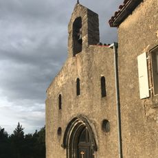
Église Saint-Cierge de Saint-Cierge-la-Serre
17 m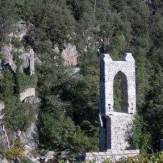
Saint-Fontunat-sur-Eyrieux Footbridge
3.1 km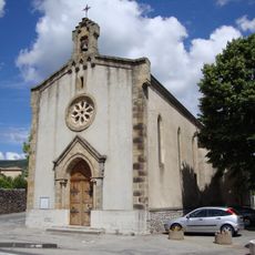
Église Saint-Julien de Saint-Julien-en-Saint-Alban
4.2 km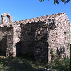
Ancienne église Saint-Julien de Saint-Julien-en-Saint-Alban
4.2 km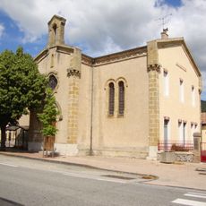
Temple de Saint-Julien-en-Saint-Alban
4.4 km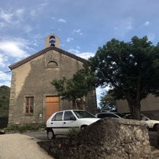
Temple protestant de Saint-Cierge-la-Serre
271 m
Protestant church
3.4 km
Temple de Saint-Fortunat-sur-Eyrieux
4 km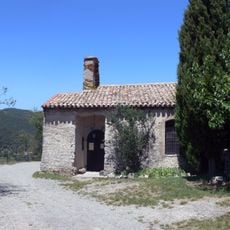
Chapelle du Prédicant de Vieux Rompon
4.4 km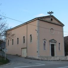
Temple des Fonts-du-Pouzin
4.5 km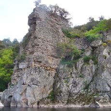
Pont Pierre
3.2 km
Défilé du Pontpierre
3.2 km
Scenic viewpoint
3.1 km
Scenic viewpoint
3.3 km
Statue, Work of art
4.3 km
Wayside cross
4.8 km
Catholic church building, wayside cross
3.4 km
Catholic church building, wayside cross
159 m
Memorial, commemorative plaque
252 m
Croix des Bans
4.9 km
Le Pont Romain
3.3 km
Memorial, war memorial
4 km
Waterfall
4.8 kmVisited this place? Tap the stars to rate it and share your experience / photos with the community! Try now! You can cancel it anytime.
Discover hidden gems everywhere you go!
From secret cafés to breathtaking viewpoints, skip the crowded tourist spots and find places that match your style. Our app makes it easy with voice search, smart filtering, route optimization, and insider tips from travelers worldwide. Download now for the complete mobile experience.

A unique approach to discovering new places❞
— Le Figaro
All the places worth exploring❞
— France Info
A tailor-made excursion in just a few clicks❞
— 20 Minutes