Catholic church building, wayside cross
Location: Liorac-sur-Louyre
GPS coordinates: 44.87511,0.63843
Latest update: November 17, 2025 17:39
Château de Clérans
2.6 km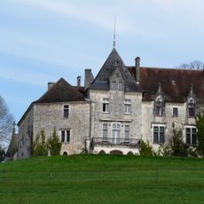
Château de Bellegarde
4.1 km
Château les Merles
2.4 km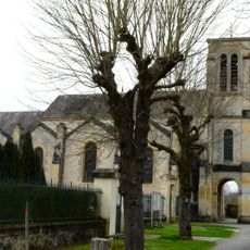
Église Saint-Cybard de Mouleydier
3.5 km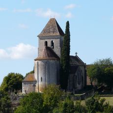
Église Notre-Dame de l'Assomption de Cause-de-Clérans
3.1 km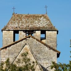
Église Saint-Martin de Liorac-sur-Louyre
2.6 km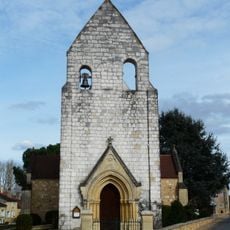
Église Transfiguration de Notre-Seigneur
4.2 km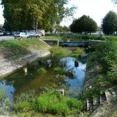
Bassin de radoub du canal de Lalinde (Saint-Capraise-de-Lalinde)
3.2 km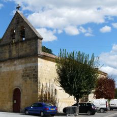
Église Saint-Capraise
3.9 km
Pont-canal de Saint-Capraise-de-Lalinde
3.9 km
Bassin de stationnement du canal de Lalinde
3.7 km
Château de Garraube
1.2 km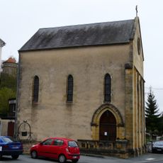
Chapelle Notre-Dame de Mouleydier
4.1 km
Chartreuse des Bourdies
3.9 km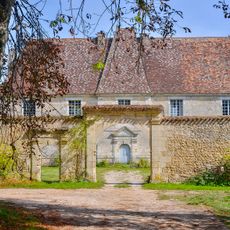
Château de Genthial
2.3 km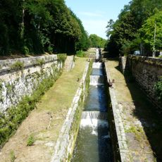
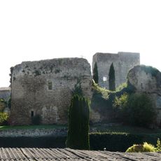
Groupe d'écluses de Tuilières
3.2 km
Wayside cross
2.6 km
War memorial, memorial
3.9 km
Catholic church building, wayside cross
3.6 km
Château de Carrieux
2.9 km
Wayside cross
2.4 km
Memorial
4.1 km
Wayside shrine
4.2 km
Croix des Granges
3.5 km
Catholic church building, wayside cross
2.4 km
Catholic church building, wayside cross
2.6 km
Catholic church building, wayside cross
4 km
War memorial, memorial
4.1 kmReviews
Visited this place? Tap the stars to rate it and share your experience / photos with the community! Try now! You can cancel it anytime.
Discover hidden gems everywhere you go!
From secret cafés to breathtaking viewpoints, skip the crowded tourist spots and find places that match your style. Our app makes it easy with voice search, smart filtering, route optimization, and insider tips from travelers worldwide. Download now for the complete mobile experience.

A unique approach to discovering new places❞
— Le Figaro
All the places worth exploring❞
— France Info
A tailor-made excursion in just a few clicks❞
— 20 Minutes