Wayside shrine
Location: Saint-André-les-Alpes
GPS coordinates: 43.92241,6.50988
Latest update: November 11, 2025 22:39
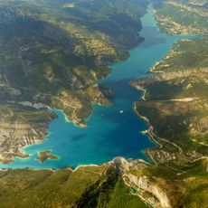
Lac de Castillon
3.1 km
Pierres Blanches dolmen
3.1 km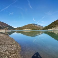
Plage du Plan
2.6 km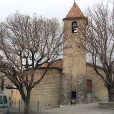
Église Saint-Barthélémy de Moriez
5.2 km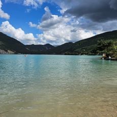
Aquaventure Park
2.6 km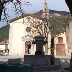
Église Saint-André de Saint-André-les-Alpes
5 km
Les deux saints
3.3 km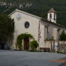
Église Notre-Dame-et-Saint-Honorat d'Angles
4.5 km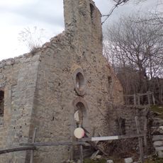
Ancienne église de Courchons
611 m
Basse de Pidanoux
3.5 km
Sommet du Castellard
4.3 km
Scenic viewpoint
1.8 km
La Colle
5.1 km
Scenic viewpoint
2.2 km
Scenic viewpoint
3.3 km
Scenic viewpoint
2.9 km
Belvédère du Pidanoux
2.8 km
Benchmark, scenic viewpoint
2.9 km
Benchmark, scenic viewpoint
934 m
Wayside shrine
1.2 km
Triangulation station, wayside shrine, survey marker
4.4 km
Catholic church building, wayside cross
3.5 km
Catholic church building, wayside cross
3.4 km
Wayside shrine, Christianity
4.7 km
Memorial, war memorial
5.1 km
Wayside shrine
4.1 km
Wayside shrine
4.5 km
Memorial, war memorial
2.3 kmReviews
Visited this place? Tap the stars to rate it and share your experience / photos with the community! Try now! You can cancel it anytime.
Discover hidden gems everywhere you go!
From secret cafés to breathtaking viewpoints, skip the crowded tourist spots and find places that match your style. Our app makes it easy with voice search, smart filtering, route optimization, and insider tips from travelers worldwide. Download now for the complete mobile experience.

A unique approach to discovering new places❞
— Le Figaro
All the places worth exploring❞
— France Info
A tailor-made excursion in just a few clicks❞
— 20 Minutes