
High water mark, tourist attraction
Location: Lumes
Inscription: plus hautes eaux connues
GPS coordinates: 49.73587,4.78099
Latest update: November 14, 2025 19:06
Château de Lumes
150 m
Église Saint-Pierre de Villers-Semeuse
2.2 km
Loomy Land
110 m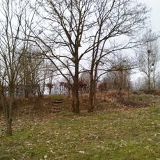
Arboretum des Sarteaux
2.1 km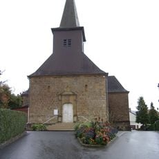
Eglise Saint-Brice de Lumes
201 m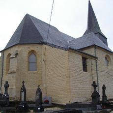
Église Saint-Remi des Ayvelles
2.3 km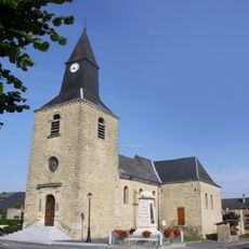
Église Saint-Laurent de Saint-Laurent
3.1 km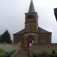
Église de la Nativité-de-la-Bienheureuse-Vierge-Marie de Ville-sur-Lumes
2.1 km
Monument aux Morts de Ville-sur-Lumes
2 km
Wayside cross
3 km
Ancre géante
3 km
Au Cabaret Vert
3.1 km
Jules Leroux
2.6 km
Jules Leroux
2.6 km
La Grande Amphore
2.1 km
War memorial, memorial
192 m
Monument aux morts des Ayvelles
2.2 km
Puits fleuris
2.3 km
Monument aux morts de Saint-Laurent
3.1 km
Ruins
2.3 km
Ruins
2.2 km
Ruins
2.2 km
Ruins
2.2 km
Ruins
2.2 km
Ruins
2.2 km
Wayside shrine, Christianity
1.9 km
Tomb
2.7 km
Monument aux morts de Villers-Semeuse
2.4 kmReviews
Visited this place? Tap the stars to rate it and share your experience / photos with the community! Try now! You can cancel it anytime.
Discover hidden gems everywhere you go!
From secret cafés to breathtaking viewpoints, skip the crowded tourist spots and find places that match your style. Our app makes it easy with voice search, smart filtering, route optimization, and insider tips from travelers worldwide. Download now for the complete mobile experience.

A unique approach to discovering new places❞
— Le Figaro
All the places worth exploring❞
— France Info
A tailor-made excursion in just a few clicks❞
— 20 Minutes