Lavoir
Location: Sonthonnax-la-Montagne
GPS coordinates: 46.20452,5.49775
Latest update: November 16, 2025 04:20
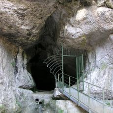
Grotte de Corveissiat
1.2 km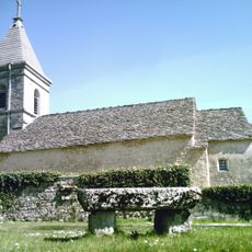
Chapelle de Mornay
2 km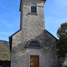
Église Saint-Étienne de Bolozon
2.3 km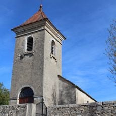
Église Saint-Martin de Napt
251 m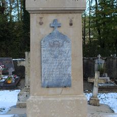
War memorial of Volognat
3.3 km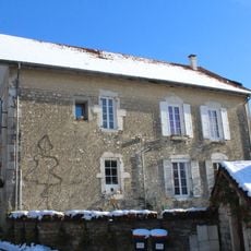
Former town hall of Mornay
2 km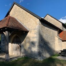
Chapelle Sainte-Madeleine de Solomiat
3.3 km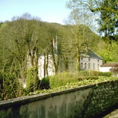
Château de Volognat
3.3 km
Rocher des Trois Colonnes
1.7 km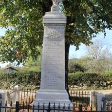
War memorial of Napt
344 m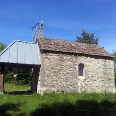
Chapelle Notre-Dame de l'Étoile de Sonthonnax-la-Montagne
1.1 km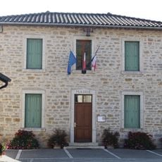
Town hall of Bolozon
2.4 km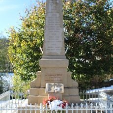
War memorial of Mornay
2 km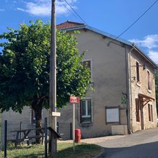
Ancienne mairie de Napt
101 m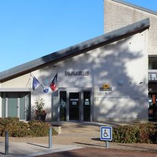
Town hall of Nurieux-Volognat
3.3 km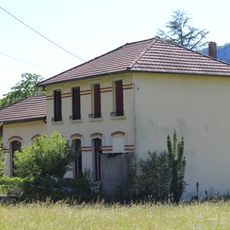
Former town hall of Granges
2.4 km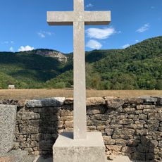
Cemetery cross of Bolozon
2.5 km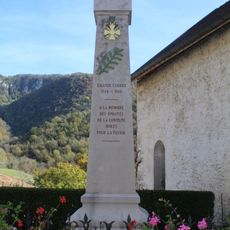
War memorial of Bolozon
2.3 km
Scenic viewpoint
3.2 km
Scenic viewpoint
2 km
Scenic viewpoint
3 km
Vierge
3.3 km
Wayside cross
3 km
Wayside cross
2.2 km
Wayside cross
2.5 km
Memorial cross, memorial
2.1 km
Cascade du Grand Pichet
1.8 km
Cascade de Pisse Vache
1.7 kmReviews
Visited this place? Tap the stars to rate it and share your experience / photos with the community! Try now! You can cancel it anytime.
Discover hidden gems everywhere you go!
From secret cafés to breathtaking viewpoints, skip the crowded tourist spots and find places that match your style. Our app makes it easy with voice search, smart filtering, route optimization, and insider tips from travelers worldwide. Download now for the complete mobile experience.

A unique approach to discovering new places❞
— Le Figaro
All the places worth exploring❞
— France Info
A tailor-made excursion in just a few clicks❞
— 20 Minutes