Catholic church building, wayside cross
Location: La Sauvetat-du-Dropt
GPS coordinates: 44.64624,0.34150
Latest update: December 3, 2025 14:47
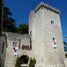
Château d'Eymet
5 km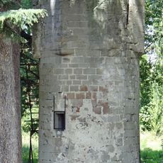
Château d'Allemans-du-Dropt
4.6 km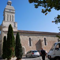
Église Saint-Eutrope d'Allemans-du-Dropt
4.6 km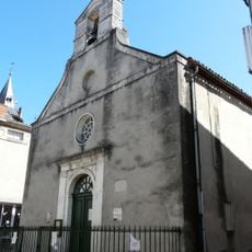
Temple protestant d'Eymet
5 km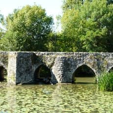
Vieux pont sur le Dropt
34 m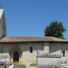
Église Saint-Martin de Cadillac
3.3 km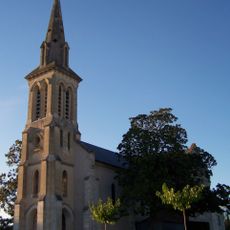
Église Saint-Hilaire de Moustier
3.5 km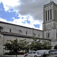
Église Saint-Germain de La Sauvetat-du-Dropt
268 m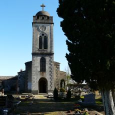
Église Sainte-Marie-Madeleine de Cogulot
3 km
Église Notre-Dame d'Eymet
4.9 km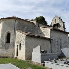
Église Saint-Saturnin d'Agnac
2.6 km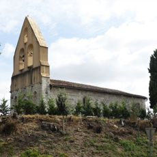
Église Saint-Jean-Baptiste d'Iffour
4.1 km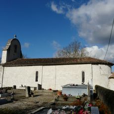
Église Saint-Sulpice de Saint-Sulpice-d'Eymet
4.2 km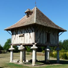
Manoir du Bout du Pont
257 m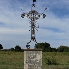
Croix de la Passion d'Agnac
2.5 km
Scenic viewpoint
4.9 km
Pigeonnier
4.9 km
Calvaire
5 km
Calvaire
4.3 km
Wayside cross
4.1 km
Wayside cross
4.4 km
Le Péchalbet
3.9 km
Catholic church building, wayside cross
2.9 km
Monument aux Morts
4.6 km
Wayside cross
3.1 km
Wayside cross
4.9 km
Wayside cross
2.4 km
Wayside cross
3.2 kmVisited this place? Tap the stars to rate it and share your experience / photos with the community! Try now! You can cancel it anytime.
Discover hidden gems everywhere you go!
From secret cafés to breathtaking viewpoints, skip the crowded tourist spots and find places that match your style. Our app makes it easy with voice search, smart filtering, route optimization, and insider tips from travelers worldwide. Download now for the complete mobile experience.

A unique approach to discovering new places❞
— Le Figaro
All the places worth exploring❞
— France Info
A tailor-made excursion in just a few clicks❞
— 20 Minutes