Wayside shrine
Location: Porta
Inscription: 1866
GPS coordinates: 42.49552,1.84795
Latest update: November 13, 2025 21:05
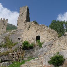
Château de Carol
489 m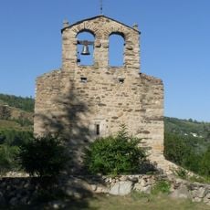
Église Saint-Fructueux d'Iravals
5.5 km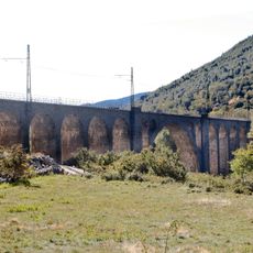
Porta Viaduct
812 m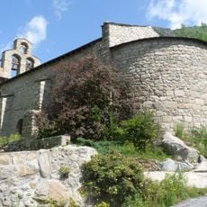
Chapelle de Courbassil
326 m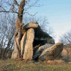
Brangolí Dolmen
5 km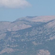
Puncho
3.9 km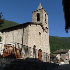
Église Saint-Jean-Baptiste de Porta
4.5 km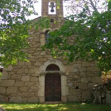
Chapelle Saint-Fructueux de Brangoli
5.2 km
Roques Feres
4.5 km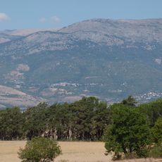
Pic de Mullet
5.4 km
Puig Farinós
3.6 km
Barraca Pleta de les Cases
2.8 km
Roc Roig
5.7 km
Peransalt
4.7 km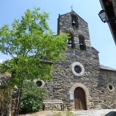
Église Saint-Étienne de Latour-de-Carol
5 km
Roca de Colom
2.9 km
Pic de la Tossa
2.9 km
Planell de la Agulla
5.3 km
Rocher de Latour 2
5.1 km
Scenic viewpoint
4.7 km
Mirador de les Cies
5.6 km
Scenic viewpoint
4.6 km
Ruins
2.2 km
Tour de Carol
500 m
Catholic church building, wayside cross
4 km
Le Jardin du Souvenir
4.8 km
Jacint Verdaguer
4.9 km
Waterfall
4.4 kmReviews
Visited this place? Tap the stars to rate it and share your experience / photos with the community! Try now! You can cancel it anytime.
Discover hidden gems everywhere you go!
From secret cafés to breathtaking viewpoints, skip the crowded tourist spots and find places that match your style. Our app makes it easy with voice search, smart filtering, route optimization, and insider tips from travelers worldwide. Download now for the complete mobile experience.

A unique approach to discovering new places❞
— Le Figaro
All the places worth exploring❞
— France Info
A tailor-made excursion in just a few clicks❞
— 20 Minutes