
Crue 02/06/1832
Location: Thory
Inscription: Eau du 2 Juin 1832 (La plaque est à l'envers car elle a été déplacée : la marque de la crue est fausse) (L'eau devait probablement monter vers 243 m.)
Made from material: stone
GPS coordinates: 47.56555,3.91775
Latest update: November 14, 2025 13:03
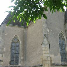
Église Saint-Martin de Lucy-le-Bois
2.1 km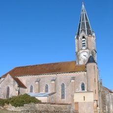
Église de l'Immaculée-Conception de Thory
515 m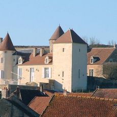
Château de Thory
482 m
Point de vue sur le paysage de la Côte de Terre-Plaine
858 m
Croix du Cimetière de Thory
526 m
Croix Moreau
1.5 km
La Cène
517 m
Croix de Saint-François
2 km
Croix Louis Mion
76 m
Monument aux morts
452 m
Croix de pierre de Thory
449 m
Croix de Thory
687 m
Croix de Martin Boursier
1.1 km
Wayside cross
2.1 km
Ancien abreuvoir de La Reliche
231 m
Robot sur un poteau
527 m
Croix Marie Bonnard
1.5 km
Croix B⋅C
834 m
Croix du Bourg Moreau
46 m
Plaque de Cocher
41 m
Plaque de Cocher
685 m
La Margelle au Corps Ventru
475 m
Le Carcan
475 m
Lavoir
46 m
Famille Tissier
521 m
La Pierrelée (emplacement approximatif)
1 km
Memorial, commemorative plaque
2.1 km
Wayside cross, Christianity, Catholic church building
2 kmReviews
Visited this place? Tap the stars to rate it and share your experience / photos with the community! Try now! You can cancel it anytime.
Discover hidden gems everywhere you go!
From secret cafés to breathtaking viewpoints, skip the crowded tourist spots and find places that match your style. Our app makes it easy with voice search, smart filtering, route optimization, and insider tips from travelers worldwide. Download now for the complete mobile experience.

A unique approach to discovering new places❞
— Le Figaro
All the places worth exploring❞
— France Info
A tailor-made excursion in just a few clicks❞
— 20 Minutes