Wayside shrine
Location: Limans
Inscription: Mission de 1946 A TEISSIER Curé RP FELIX Franciscain
GPS coordinates: 43.98563,5.72990
Latest update: November 14, 2025 02:58

Maison d'Histoire et de Mémoire d'Ongles
4.6 km
Couvent des Visitandines
5 km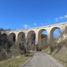
Viaduc des Latins
4.9 km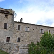
Ferme fortifiée d'Ybourgues
2.4 km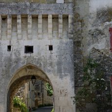
Remparts de Revest-des-Brousses
4.9 km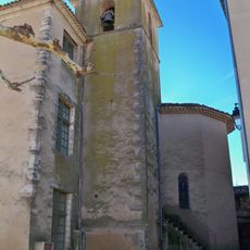
Église Saint-Marc d'Ongles
4.6 km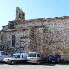
Église Saint-Georges de Limans
121 m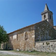
Église Notre Dame
4.7 km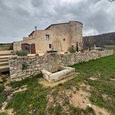
Château du Villard
3.9 km
Chapelle Saint-Michel de Forcalquier
4.6 km
Ancienne chapelle du couvent des Visitandines
5 km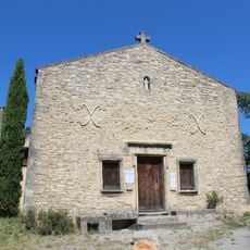
Chapelle Saint-Marc de Forcalquier
4.4 km
Dolmen du Clau-deï-Meli 1
3.1 km
Dolmen du Clau-deï-Meli 2
3.8 km
Scenic viewpoint
3.7 km
Scenic viewpoint
1.4 km
FRQ_04
5 km
Aqueduc
3.3 km
Borie
4.7 km
Borie
4.7 km
Borie
4.6 km
Borie
4.5 km
Ruins
4.4 km
Ruins
3.6 km
Ruins
4.8 km
Ruins
2.5 km
Stele, memorial
22 m
Wayside shrine
4.8 kmReviews
Visited this place? Tap the stars to rate it and share your experience / photos with the community! Try now! You can cancel it anytime.
Discover hidden gems everywhere you go!
From secret cafés to breathtaking viewpoints, skip the crowded tourist spots and find places that match your style. Our app makes it easy with voice search, smart filtering, route optimization, and insider tips from travelers worldwide. Download now for the complete mobile experience.

A unique approach to discovering new places❞
— Le Figaro
All the places worth exploring❞
— France Info
A tailor-made excursion in just a few clicks❞
— 20 Minutes