Lavoir
Location: Châtillon-la-Palud
GPS coordinates: 45.98077,5.25921
Latest update: November 13, 2025 18:52
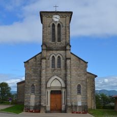
Église Saint-Irénée de Châtillon-la-Palud
1 km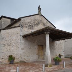
Église Saint-Martin de Villette-sur-Ain
1.2 km
Golf de la Sorelle
2.2 km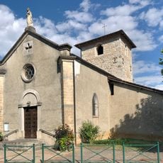
Église Saint-Georges de Bublanne
901 m
Town hall of Saint-Maurice-de-Rémens
2.7 km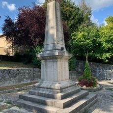
War memorial of Villette-sur-Ain
1.2 km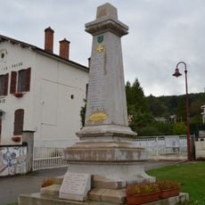
War memorial of Châtillon-la-Palud
954 m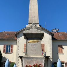
War memorial of Saint-Maurice-de-Rémens
2.7 km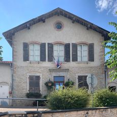
Town hall of Villette-sur-Ain
1.1 km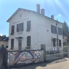
Town hall of Châtillon-la-Palud
974 m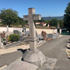
Cemetery cross of Bublanne
270 m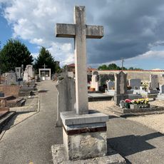
Cemetery cross of Châtillon-la-Palud
1.2 km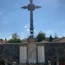
War memorial of Cemetery of Priay
2.8 km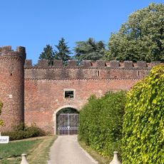
Château Grammont
719 m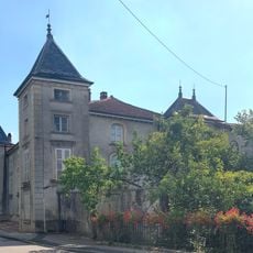
Château de Bublanne
140 m
Château du Croissant
1.2 km
Wayside cross
2.7 km
Mémorial de la Résistance en Côtière
96 m
Statue de la Vierge
1 km
Memorial
1.6 km
Wayside cross
1.2 km
Wayside cross
270 m
Château Grammont
711 m
Château du Croissant
1.2 km
Wayside cross
330 m
Wayside cross
1.4 km
Wayside cross
1 km
Wayside cross
1.5 kmReviews
Visited this place? Tap the stars to rate it and share your experience / photos with the community! Try now! You can cancel it anytime.
Discover hidden gems everywhere you go!
From secret cafés to breathtaking viewpoints, skip the crowded tourist spots and find places that match your style. Our app makes it easy with voice search, smart filtering, route optimization, and insider tips from travelers worldwide. Download now for the complete mobile experience.

A unique approach to discovering new places❞
— Le Figaro
All the places worth exploring❞
— France Info
A tailor-made excursion in just a few clicks❞
— 20 Minutes