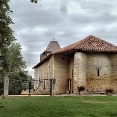
Catholic church building, wayside cross
Location: Betbezer-d'Armagnac
GPS coordinates: 43.97354,-0.18615
Latest update: November 16, 2025 01:19
Notre Dame des Cyclistes
2.8 km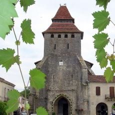
Église Notre-Dame-de-l'Assomption
466 m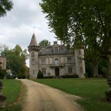
Château de Fondat
1.7 km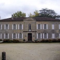
Château du Prada
584 m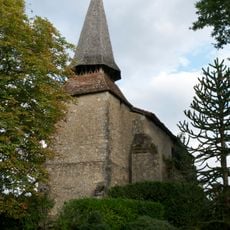
Église d'Argelouse
1.6 km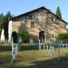
Temple des Bastides
527 m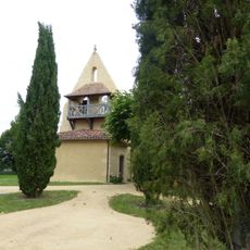
Église Saint-Julien de Saint-Julien-d'Armagnac
4.7 km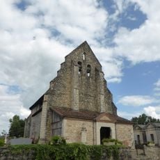
Église Notre-Dame de Mauvezin-d'Armagnac
5.7 km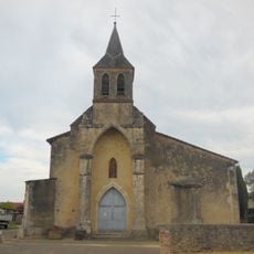
Église Saint-Pierre-aux-Liens de Betbezer-d'Armagnac
1.2 km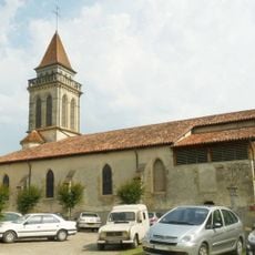
Église Saint-André de Saint-Justin
3.6 km
Château de Briat
5.5 km
Ruins
442 m
Wayside cross
5.7 km
Monument aux Morts
448 m
Arènes
3.4 km
Wayside cross
3.8 km
Memorial, war memorial
6.3 km
Wayside cross
3.7 km
Monument aux Morts
3.1 km
Wayside shrine
4.2 km
Scenic viewpoint
4.7 km
Wayside cross
543 m
Wayside cross
430 m
Monument aux Morts
3.6 km
Wayside shrine
2.8 km
Wayside cross
3.6 km
Wayside cross
5.8 km
Wayside cross
6.2 kmReviews
Visited this place? Tap the stars to rate it and share your experience / photos with the community! Try now! You can cancel it anytime.
Discover hidden gems everywhere you go!
From secret cafés to breathtaking viewpoints, skip the crowded tourist spots and find places that match your style. Our app makes it easy with voice search, smart filtering, route optimization, and insider tips from travelers worldwide. Download now for the complete mobile experience.

A unique approach to discovering new places❞
— Le Figaro
All the places worth exploring❞
— France Info
A tailor-made excursion in just a few clicks❞
— 20 Minutes