Wayside cross
Location: Saint-Ferme
Made from material: stone
GPS coordinates: 44.69141,0.06258
Latest update: November 1, 2025 14:36
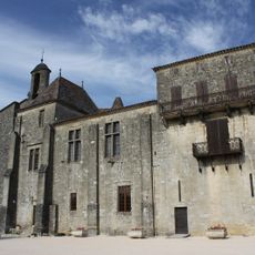
Abbaye de Saint-Ferme
375 m
Butte de Launay
4.7 km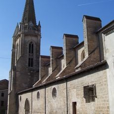
Église Notre-Dame
4.7 km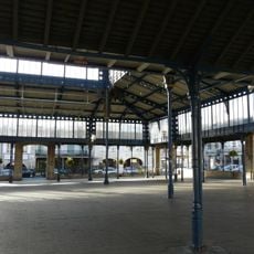
Halle de Monségur
4.8 km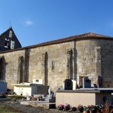
Église de Sainte-Colombe-de-Duras
4.9 km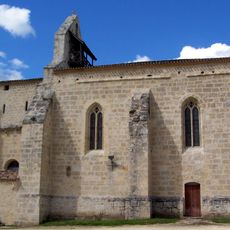
Église Saint-Hilaire de Rimons
5 km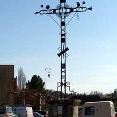
Croix de la Passion
4.8 km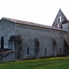
Église Saint-Pierre de Dieulivol
4.3 km
Maison, 24 rue Porte-de-La-Réole
4.8 km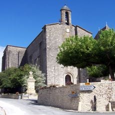
Église des Bénédictins de Saint-Ferme
380 m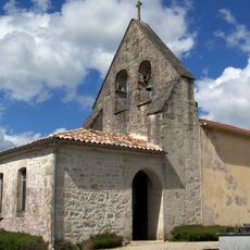
Église Saint-Mandé de Caumont
5.3 km
Église Saint-Hilaire de Soussac
5.4 km
Église Saint-Pierre de Cazaugitat
5 km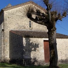
Église Sainte-Anne du Puy
3.9 km
Château de Lugagnac
4.6 km
Scenic viewpoint
4.3 km
Monument aux Morts
5 km
Grotte de Dieulivol
4.4 km
Catholic church building, wayside cross
4.7 km
Monument aux morts
4.9 km
Windmill'ruins
4.7 km
Wayside cross
616 m
Memorial, war memorial
397 m
Monuments aux morts
5.1 km
Wayside shrine
5.2 km
Wayside cross
5.3 km
Wayside cross
5.3 km
Wayside cross
375 mReviews
Visited this place? Tap the stars to rate it and share your experience / photos with the community! Try now! You can cancel it anytime.
Discover hidden gems everywhere you go!
From secret cafés to breathtaking viewpoints, skip the crowded tourist spots and find places that match your style. Our app makes it easy with voice search, smart filtering, route optimization, and insider tips from travelers worldwide. Download now for the complete mobile experience.

A unique approach to discovering new places❞
— Le Figaro
All the places worth exploring❞
— France Info
A tailor-made excursion in just a few clicks❞
— 20 Minutes