
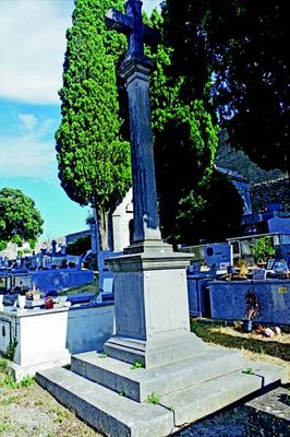
Memorial cross, memorial
Location: Saint-Mathieu-de-Tréviers
Website: https://etudesheraultaises.fr/wp-content/uploads/20195207-Fig.04.jpg
GPS coordinates: 43.77128,3.87326
Latest update: November 12, 2025 22:15
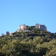
Château de Montferrand
2.7 km
Château du Lebous
2.3 km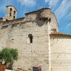
Église de Sainte-Croix-de-Quintillargues
2.9 km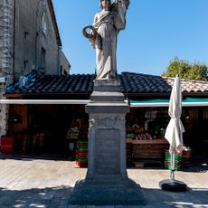
Saint-Mathieu-de-Treviers war memorial
433 m
Scenic viewpoint
2.3 km
Porte de MAUGUIO
2.7 km
Village préhistorique de Lébous
1.8 km
Croix
2 km
Wayside cross
2.9 km
Calvaire
756 m
Wayside cross
2.4 km
Wayside cross
2.8 km
Château du Lebous
1.8 km
Tours de Salles
2.9 km
Croix
1.2 km
Porte Ouest
2.8 km
Croix
1.3 km
Wayside cross
3.1 km
Wayside cross, tourist attraction
48 m
Wayside cross
1.7 km
Wayside cross
1.5 km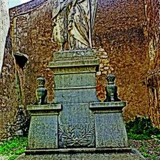
Memorial, war memorial
1.3 km
Commemorative plaque, memorial
718 m
Ruins
2.3 km
Wayside cross
2.9 km
Memorial, memorial cross
2.7 km
Wayside cross
146 m
Wayside cross
229 mReviews
Visited this place? Tap the stars to rate it and share your experience / photos with the community! Try now! You can cancel it anytime.
Discover hidden gems everywhere you go!
From secret cafés to breathtaking viewpoints, skip the crowded tourist spots and find places that match your style. Our app makes it easy with voice search, smart filtering, route optimization, and insider tips from travelers worldwide. Download now for the complete mobile experience.

A unique approach to discovering new places❞
— Le Figaro
All the places worth exploring❞
— France Info
A tailor-made excursion in just a few clicks❞
— 20 Minutes