Wayside cross
Location: Condorcet
Made from material: metal
GPS coordinates: 44.41063,5.20186
Latest update: November 12, 2025 06:45
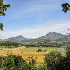
Parc naturel régional des Baronnies provençales
5.3 km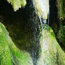
Cascade d'Aubres
4 km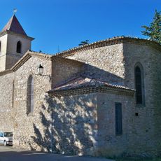
Église de Curnier
3.9 km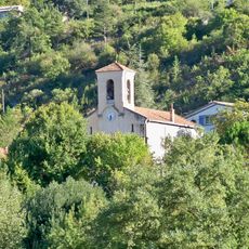
Église Saint-Michel de Sahune
5.2 km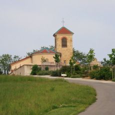
Église Saint-Romain de Tersanne
7.2 km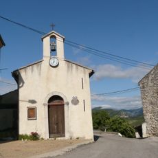
Chapelle Saint-Jacques d'Eyroles
2.1 km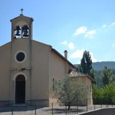
Église d'Aubres
4.7 km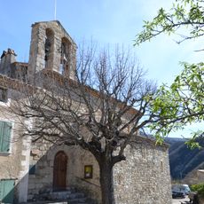
Église Saint-Étienne d'Arpavon
6.9 km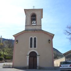
Église Saint-Jacques de Montaulieu
6.1 km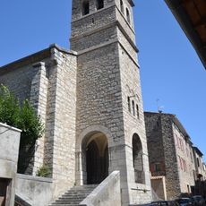
Église Saint-Marcellin des Pilles
3.6 km
Chapelle Saint-Joseph-des-Champs à Sahune
5.9 km
Scenic viewpoint
4.4 km
Scenic viewpoint
4.8 km
Scenic viewpoint
4.5 km
Scenic viewpoint
5.2 km
Point d'Orientation
5.3 km
Scenic viewpoint
4.4 km
Ruines des thermes de Condorcet
1.3 km
Scenic viewpoint
6.5 km
Ruins
755 m
Point de vue
6 km
Mémorial des fusillés de Saint-Pons (19 mars 1944)
2.9 km
Memorial, war memorial
2.4 km
Stèle commémorative Roger Floret
6.1 km
Wayside cross
6.8 km
Commemorative plaque, memorial
7.2 km
Roger Floret
6.1 km
Waterfall
6.2 kmReviews
Visited this place? Tap the stars to rate it and share your experience / photos with the community! Try now! You can cancel it anytime.
Discover hidden gems everywhere you go!
From secret cafés to breathtaking viewpoints, skip the crowded tourist spots and find places that match your style. Our app makes it easy with voice search, smart filtering, route optimization, and insider tips from travelers worldwide. Download now for the complete mobile experience.

A unique approach to discovering new places❞
— Le Figaro
All the places worth exploring❞
— France Info
A tailor-made excursion in just a few clicks❞
— 20 Minutes