Wayside cross
Location: Vitrolles-en-Luberon
GPS coordinates: 43.81210,5.59522
Latest update: November 14, 2025 02:33

Réserve naturelle géologique du Luberon
2.8 km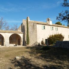
Ermitage Saint Pancrace de Grambois
3.4 km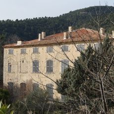
Château du Grand Pré
105 m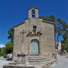
Chapel of the Consolation of Mary of La Bastide des Jourdans
4.6 km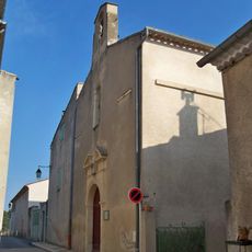
Église Saint-Jérôme de Peypin-d'Aigues
3.5 km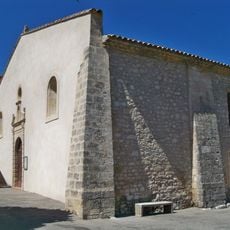
Église de La Bastide-des-Jourdans
4.4 km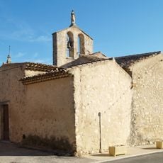
Église Saint-Étienne de Vitrolles-en-Lubéron
93 m
Sauvand
4.7 km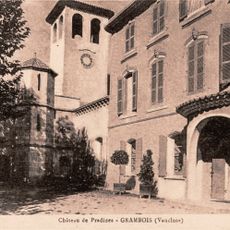
Château de Pradines
4.7 km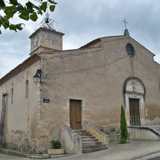
Église Saint-Michel de Céreste
4.8 km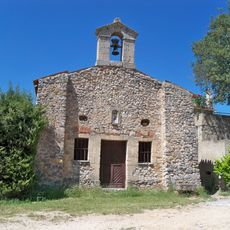
Chapelle Saint Marc de La Bastide-des-Jourdans
4.6 km
Le Gancet
3.9 km
Le Collet du Paradis
2.1 km
Le Castellas
200 m
Collet des Turcs
4.5 km
Le Collet de Rougier
1.7 km
PC Alt 566
573 m
PC Alt 599
1.1 km
Les Grand Collets
1.3 km
PC 468 m
1.8 km
Bastidan observatory
3.5 km
Ruine maison
1.5 km
Wayside cross
3.9 km
Rougier
1.8 km
La cerisiére ruine
1.1 km
Ruins
4.5 km
Wayside cross
4.5 km
Ruins
4.3 kmReviews
Visited this place? Tap the stars to rate it and share your experience / photos with the community! Try now! You can cancel it anytime.
Discover hidden gems everywhere you go!
From secret cafés to breathtaking viewpoints, skip the crowded tourist spots and find places that match your style. Our app makes it easy with voice search, smart filtering, route optimization, and insider tips from travelers worldwide. Download now for the complete mobile experience.

A unique approach to discovering new places❞
— Le Figaro
All the places worth exploring❞
— France Info
A tailor-made excursion in just a few clicks❞
— 20 Minutes