Catholic church building, wayside cross
Location: La Roquebrussanne
Made from material: metal
GPS coordinates: 43.33617,5.97961
Latest update: November 16, 2025 06:34

Montagne de la Loube
3.4 km
Dolmen de l'Amarron
5.1 km
L'Amarron
5 km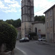
Église Saint-Eutrope de Méounes-lès-Montrieux
6.2 km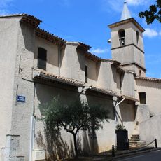
Église de l'Annonciation de Mazaugues
4.8 km
Église Saint-Sauveur de La Roquebrussanne
339 m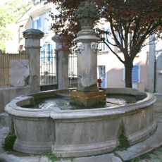
Fontaine de Méounes-lès-Montrieux
6.2 km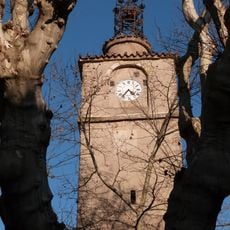
Tour de l'Horloge
501 m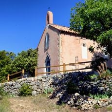
Chapelle Saint-Félix
4.8 km
Sauts du Cabri
5.7 km
Scenic viewpoint
5.4 km
Scenic viewpoint
4.4 km
Scenic viewpoint
3.2 km
Scenic viewpoint
2.9 km
Scenic viewpoint
4.5 km
Gorges de Caramy
5.7 km
Bike Park
6 km
Source Saint-Médard
4.9 km
Source Saint-Martin
5.7 km
Scenic viewpoint
1.9 km
Memorial
4.1 km
Wayside cross
4.8 km
Château de Mazaugues
4.6 km
Monument aux Morts
5 km
Saint-Thomé
5.4 km
Memorial, war memorial
6.1 km
Catholic church building, wayside cross
5.6 km
Memorial, commemorative plaque
6.2 kmReviews
Visited this place? Tap the stars to rate it and share your experience / photos with the community! Try now! You can cancel it anytime.
Discover hidden gems everywhere you go!
From secret cafés to breathtaking viewpoints, skip the crowded tourist spots and find places that match your style. Our app makes it easy with voice search, smart filtering, route optimization, and insider tips from travelers worldwide. Download now for the complete mobile experience.

A unique approach to discovering new places❞
— Le Figaro
All the places worth exploring❞
— France Info
A tailor-made excursion in just a few clicks❞
— 20 Minutes