High water mark
Location: Deggendorf
Inscription: Hochwasser 4. Juni 2013 Donaupegel 7.86m
GPS coordinates: 48.82070,12.95526
Latest update: November 14, 2025 18:47
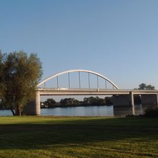
Fischerdorf motorway bridge
969 m
High water mark
435 m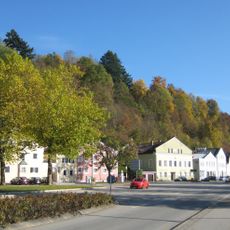
Ensemble Hengersberger Straße
972 m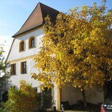
Ehemals Mauthaus
818 m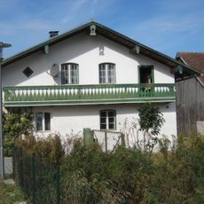
Wohnstallhaus
665 m
Cultural heritage D-2-7143-0174 in Deggendorf
932 m
Scheune Donaustraße 36 in Deggendorf
672 m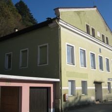
Wohnhaus
987 m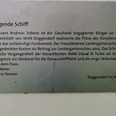
Das fliegende Schiff
793 m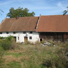
Einfirsthof
641 m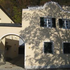
Kleinhaus
1 km
Cultural heritage D-2-7143-0173 in Deggendorf
929 m
Cultural heritage D-2-7143-0175 in Deggendorf
638 m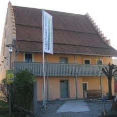
Ehemals Schiffmeisterhaus
849 m
Schiffmeisterhaus
848 m
Drinking fountain, Work of art
979 m
Drinking fountain, Work of art
956 m
Scenic viewpoint
995 m
Scenic viewpoint
938 m
Wayside cross
421 m
High water mark
993 m
Anchor
926 m
Memorial cross, memorial
864 m
High water mark
774 m
Die Tribünen
966 m
Memorial, war memorial
159 m
Memorial, war memorial
161 m
High water mark
160 mReviews
Visited this place? Tap the stars to rate it and share your experience / photos with the community! Try now! You can cancel it anytime.
Discover hidden gems everywhere you go!
From secret cafés to breathtaking viewpoints, skip the crowded tourist spots and find places that match your style. Our app makes it easy with voice search, smart filtering, route optimization, and insider tips from travelers worldwide. Download now for the complete mobile experience.

A unique approach to discovering new places❞
— Le Figaro
All the places worth exploring❞
— France Info
A tailor-made excursion in just a few clicks❞
— 20 Minutes