
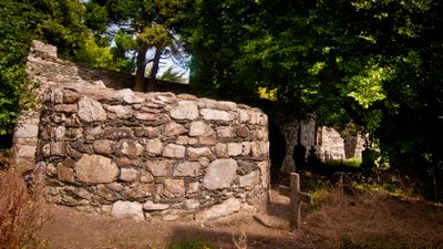
Mobile light tower, ruins, Irish round tower
Location: Shankill-Rathmichael DED 1986
Location: Dún Laoghaire-Rathdown
GPS coordinates: 53.23280,-6.14626
Latest update: November 12, 2025 02:59
Carrickmines Castle
3 km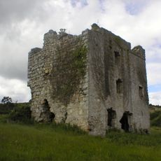
Puck's Castle
610 m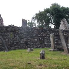
Killiney Church
3.2 km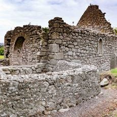
Tully Church
1.6 km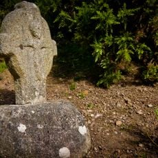
St Valery’s Cross
426 m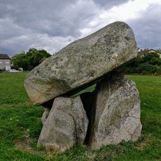
Ballybrack Dolmen
2.1 km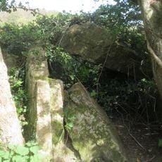
Shankill-Carickgollogan Wedge Tomb
2 km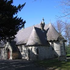
Rathmichael Church
19 m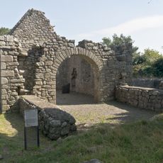
Tully Church Laughanstown and crosses
1.6 km
Rathmicheal
607 m
Old Conna Golf Course
2.1 km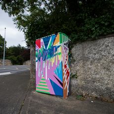
Moxie
3 km
Woodbrook Golf Club
2.9 km
Carrickmines Golf Course
2 km
Cabinteely wedge tomb
1.1 km
Dun Laoghaire Golf Club
2.6 km
Loughlinstown Pitch and Putt
1.6 km
Dún Rath Group
1.5 km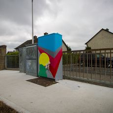
The Swimmer
2.6 km
Rathmichael Early Medieval Ecclesiastical Site
14 m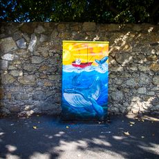
The Humpback
1.4 km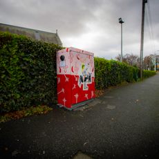
Lil’ Crusader
1.5 km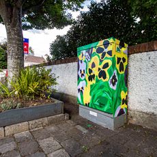
A Pop of Pansies
1.5 km
Work of art
2.1 km
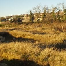
Scenic viewpoint
1.9 km
Scenic viewpoint
2.7 km
Scenic viewpoint
2.8 km
Waterfall
2.8 kmReviews
Visited this place? Tap the stars to rate it and share your experience / photos with the community! Try now! You can cancel it anytime.
Discover hidden gems everywhere you go!
From secret cafés to breathtaking viewpoints, skip the crowded tourist spots and find places that match your style. Our app makes it easy with voice search, smart filtering, route optimization, and insider tips from travelers worldwide. Download now for the complete mobile experience.

A unique approach to discovering new places❞
— Le Figaro
All the places worth exploring❞
— France Info
A tailor-made excursion in just a few clicks❞
— 20 Minutes