
Ořechov, village in Uherské Hradiště District of Zlín region
Location: Uherské Hradiště District
Location: správní obvod obce s rozšířenou působností Uherské Hradiště
Elevation above the sea: 258 m
Shares border with: Vážany, Polešovice, Újezdec, Syrovín, Moravský Písek, Domanín
Email: orechov@uh.cz
Website: http://orechov-uh.cz
GPS coordinates: 49.03060,17.30083
Latest update: April 2, 2025 07:26
Church of Saint Procopius
3.2 km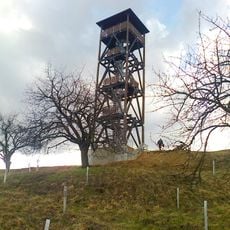
Floriánka
2.1 km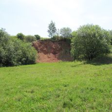
Medlovický lom
3.5 km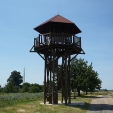
Douby
979 m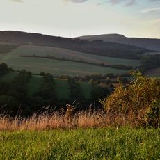
Koukolky
3.2 km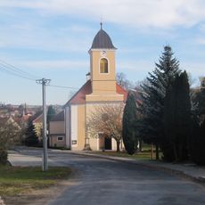
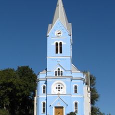
Church of Saint Wenceslaus
3.6 km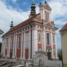
Church of Saints Peter and Paul
2.9 km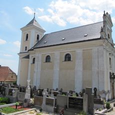
Church of the Conversion of Saint Paul
2.8 km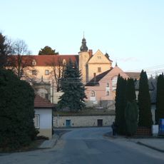
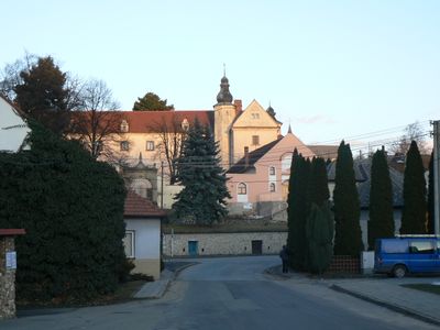
Ořechov Castle
123 m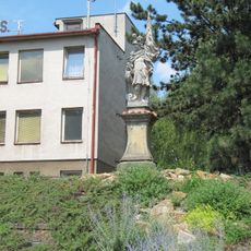
Socha svatého Floriána
3.6 km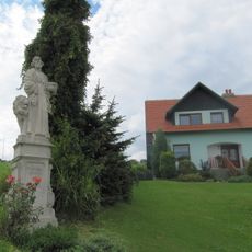
Socha svatého Marka
2.3 km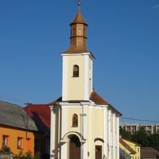
Chapel of Saint Joseph
876 m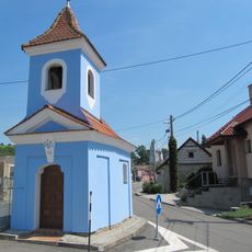
Chapel of Saint Procopius
2.9 km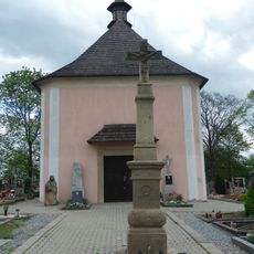
Hřbitov s kaplí svaté Barbory
4.6 km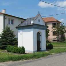
Chapel of Our Lady of Sorrows
2.8 km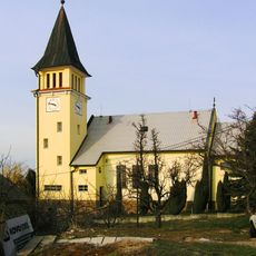
Church of Saints Cyril and Methodius
3.1 km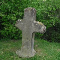
Smírčí kříž
3.7 km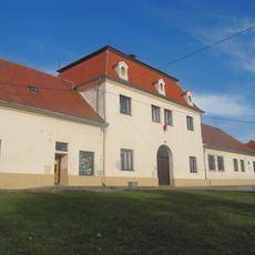
Domanínský dvůr
3.3 km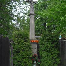
Kříž
4 km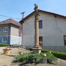
Sloup se sochou Bičovaní Krista
3.1 km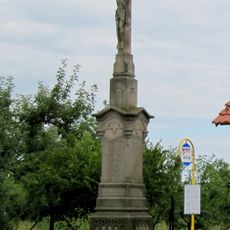
Krucifix
897 m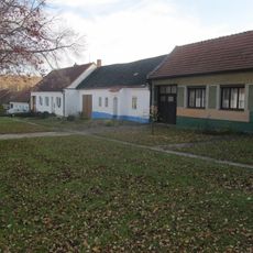
Usedlost čp. 48
4.2 km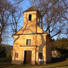
Chapel of Saint Wenceslaus
78 m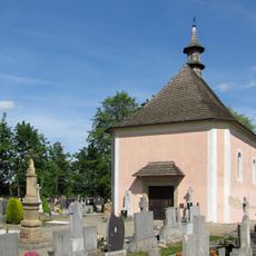
Chapel of Saint Barbara
4.6 km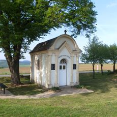
Memorial chapel in Vážany
1.2 km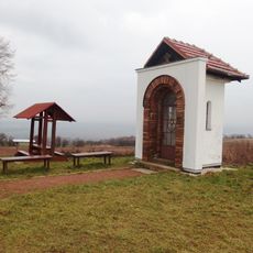
Chapel of the Sacred Heart
3.6 km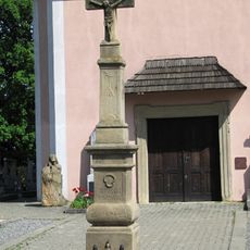
Wayside cross in Žeravice
4.6 km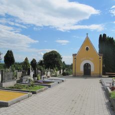
Cemetery in Polešovice
3.5 kmReviews
Visited this place? Tap the stars to rate it and share your experience / photos with the community! Try now! You can cancel it anytime.
Discover hidden gems everywhere you go!
From secret cafés to breathtaking viewpoints, skip the crowded tourist spots and find places that match your style. Our app makes it easy with voice search, smart filtering, route optimization, and insider tips from travelers worldwide. Download now for the complete mobile experience.

A unique approach to discovering new places❞
— Le Figaro
All the places worth exploring❞
— France Info
A tailor-made excursion in just a few clicks❞
— 20 Minutes