
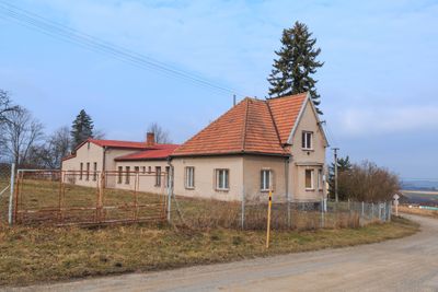
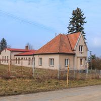
Ctětín, village in Chrudim District of Pardubice region
Location: Chrudim District
Location: Хрудим
Elevation above the sea: 513 m
Shares border with: Vysočina, Nasavrky, Miřetice, Trhová Kamenice
Email: obec.ctetin@tiscali.cz
Website: http://ctetin.cz
GPS coordinates: 49.83030,15.83947
Latest update: March 7, 2025 14:06

Kaštanka
3.2 km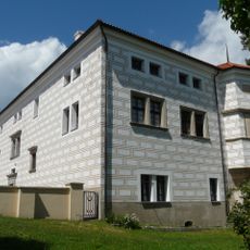
Nasavrky Castle
3.1 km
Hluboká
3.8 km
Church of Saint Giles
3.1 km
Lomy u Švihůvku
1.5 km
PP Úpolíny u Kamenice
4.4 km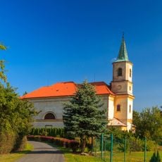
Church of Saint Mary Magdalene (Včelákov)
3.7 km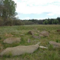
Hubský
2.7 km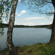
Strádovka
3.5 km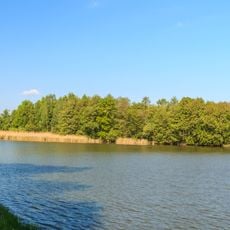
Hluboký rybník
3.6 km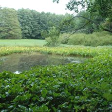
V Koutech
3.3 km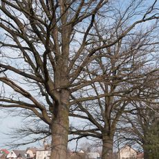
Duby u Drahotického rybníku
3.5 km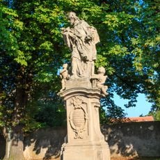
Socha svatého Jana Nepomuckého
3.7 km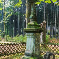
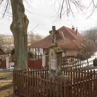
Kněžnin kříž
4 km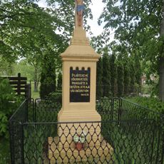
Kříž v Drahoticích
3.3 km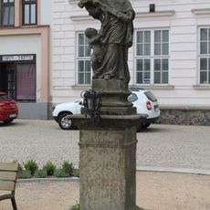
Statue of Saint John of Nepomuk
3.1 km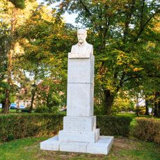
Busta T. G. Masaryka
3 km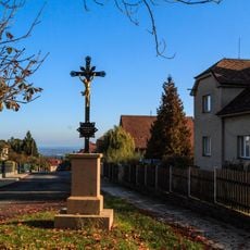
Kříž
2.9 km
Svárovská lípa Maruška
4.2 km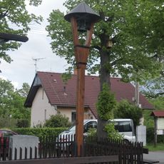
Zvonička v Libáni
3.7 km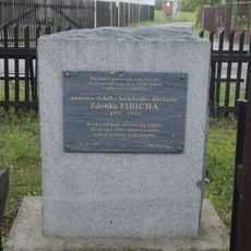
Památník Zdeňka Fibicha
3.7 km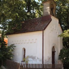
Chapel in Vranov
1.2 km
Dub letní
2.3 km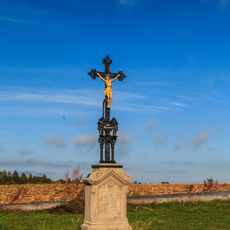
Kříž
3.3 km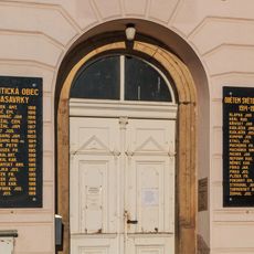
Pamětní deska
3.1 km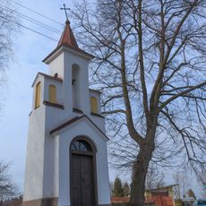
Chapel of Saint John
31 m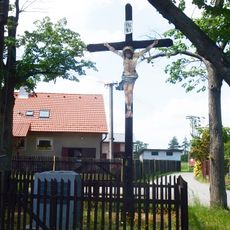
Kříž v Libáni
3.7 km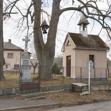
Chapel in Švihov
2.3 kmReviews
Visited this place? Tap the stars to rate it and share your experience / photos with the community! Try now! You can cancel it anytime.
Discover hidden gems everywhere you go!
From secret cafés to breathtaking viewpoints, skip the crowded tourist spots and find places that match your style. Our app makes it easy with voice search, smart filtering, route optimization, and insider tips from travelers worldwide. Download now for the complete mobile experience.

A unique approach to discovering new places❞
— Le Figaro
All the places worth exploring❞
— France Info
A tailor-made excursion in just a few clicks❞
— 20 Minutes