
Borovná, village in Jihlava District of Vysočina region
Location: Jihlava District
Location: správní obvod obce s rozšířenou působností Telč
Elevation above the sea: 552 m
Shares border with: Olší, Mrákotín, Horní Myslová, Krahulčí, Kostelní Myslová, Mysletice
Email: ouborovna@volny.cz
GPS coordinates: 49.16465,15.39463
Latest update: March 8, 2025 10:23
Praskoleská lípa
3.1 km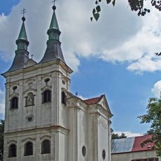
Church of Saint John of Nepomuk
3.3 km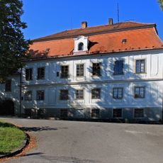
Řečice Castle
3.5 km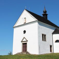
Church of Saint Joachim
2 km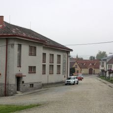
Expozice kamenictví v Mrákotině
3.1 km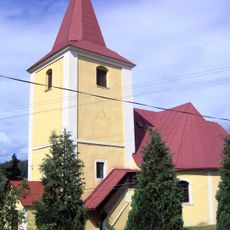
Church of Saint Wenceslaus
3.1 km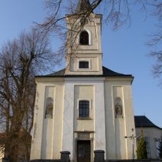
Church of Saint Giles
3.2 km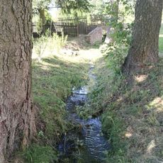
Řečický potok
3.6 km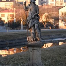
Socha sv. Jana Křtitele
3 km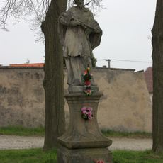
Statue of John of Nepomuk in Mrákotín
3.2 km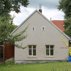
Částkovice čp. 8
3.3 km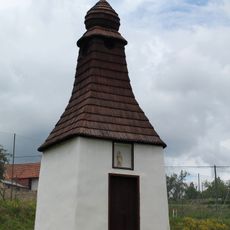
Bell tower in Částkovice
3.3 km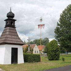
Bell tower in Horní Myslová
2 km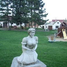
Hospodyňka
2.5 km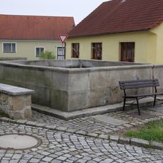
Kašna u kostela
3.2 km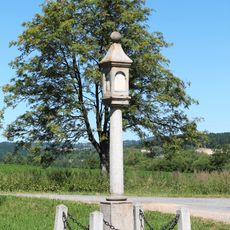
Column shrine west of Dobrá Voda
2.4 km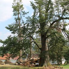
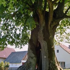
Lípa srdčitá v Praskolesích
3.1 km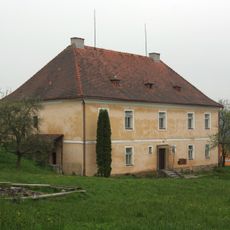
Fara
3.3 km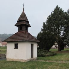
Zvonice
2.5 km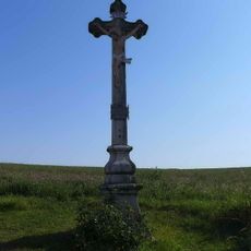
Krucifix
3.3 km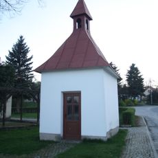
Kaple v Mysleticích
2.5 km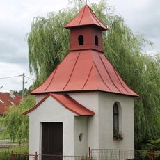
Chapel in Hostětice
3.3 km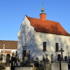
Chapel of Saint Francis of Assisi
2.9 km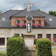
Wayside cross near the bell tower
2 km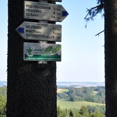
Rozcestník Bradlo
2.7 km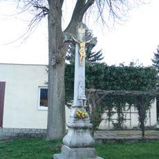
Kříž v Mysleticích
2.5 km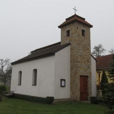
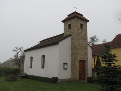
Chapel of Our Lady
51 m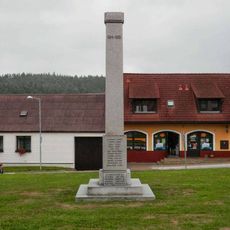
Pomník padlým v Mrákotíně
3.1 kmReviews
Visited this place? Tap the stars to rate it and share your experience / photos with the community! Try now! You can cancel it anytime.
Discover hidden gems everywhere you go!
From secret cafés to breathtaking viewpoints, skip the crowded tourist spots and find places that match your style. Our app makes it easy with voice search, smart filtering, route optimization, and insider tips from travelers worldwide. Download now for the complete mobile experience.

A unique approach to discovering new places❞
— Le Figaro
All the places worth exploring❞
— France Info
A tailor-made excursion in just a few clicks❞
— 20 Minutes