
Kněždub, village in Hodonín District of South Moravian region
Location: Мораву
Location: Hodonín District
Elevation above the sea: 185 m
Shares border with: Strážnice, Hroznová Lhota, Hrubá Vrbka, Žeraviny, Vnorovy, Tvarožná Lhota
Email: ou.knezdub@quick.cz
Website: http://knezdub.cz
GPS coordinates: 48.88667,17.39546
Latest update: March 3, 2025 20:40
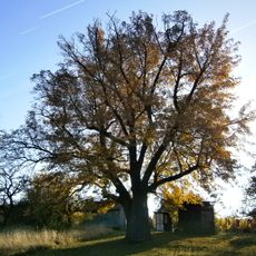
Adamcova oskeruše
5.5 km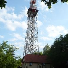
Travičná rozhledna
3.7 km
Radějovka
5.2 km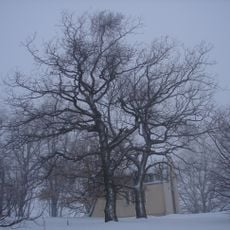
Žerotín
5.7 km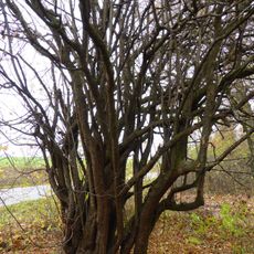
Obecní dřín
2.9 km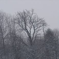
Tomečkova oskoruša
2.5 km
Kútky
6 km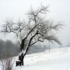
Špirudova oskeruše
2.5 km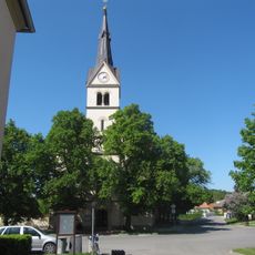
All Saints church
5.3 km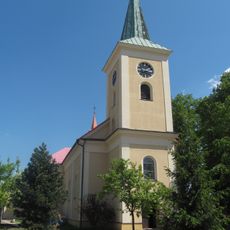
Church of Saint John the Baptist (Hroznová Lhota)
3.1 km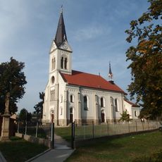
Church of Saints Cyril and Methodius (Radějov)
4.8 km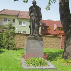
Náhrobek F. Úprky
303 m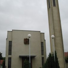
Chapel of Saint Martin
3.6 km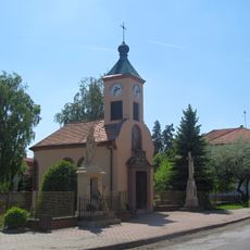
Chapel of Saint Wenceslaus
3.3 km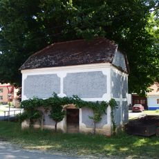
Komora u čp. 100
6.1 km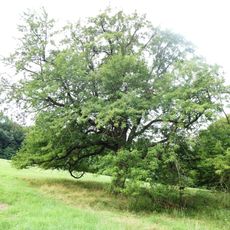
Nejedlíkova oskeruše
2 km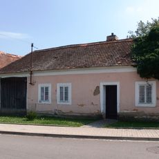
Usedlost čp. 166
449 m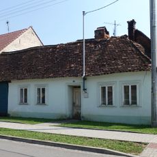
Usedlost čp. 160
355 m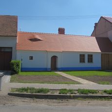
Usedlost čp. 52
3.5 km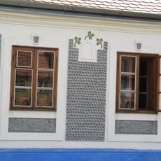
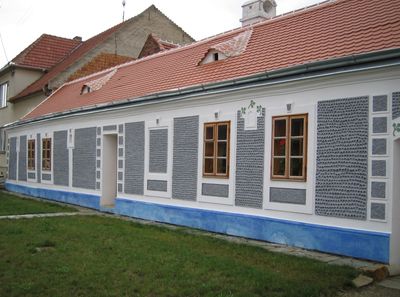
Birthplace of brothers Uprka
96 m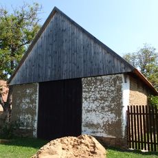
Stodola u čp. 82
6.1 km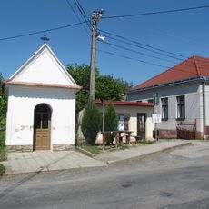
Kaple Panny Marie Lurdské
2.5 km
Church of Saint John the Baptist
324 m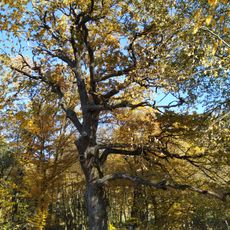
Dub v Jiříkovci
3.2 km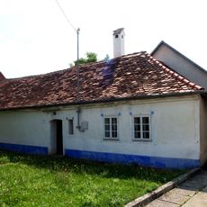
Usedlost čp. 187
2.8 km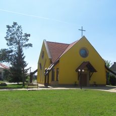
Chapel of Saint Elisabeth
2.4 km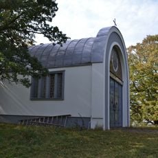
Chapel of Virgin Mary on Žerotín
5.7 km
Čertoryje
4.3 kmReviews
Visited this place? Tap the stars to rate it and share your experience / photos with the community! Try now! You can cancel it anytime.
Discover hidden gems everywhere you go!
From secret cafés to breathtaking viewpoints, skip the crowded tourist spots and find places that match your style. Our app makes it easy with voice search, smart filtering, route optimization, and insider tips from travelers worldwide. Download now for the complete mobile experience.

A unique approach to discovering new places❞
— Le Figaro
All the places worth exploring❞
— France Info
A tailor-made excursion in just a few clicks❞
— 20 Minutes