
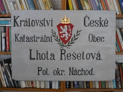
Řešetova Lhota, village in Náchod District
Location: Studnice
Elevation above the sea: 340 m
GPS coordinates: 50.43360,16.09580
Latest update: March 19, 2025 12:45
Babiččino údolí
3.7 km
Rýzmburk
3.6 km
Rudrův mlýn
3.1 km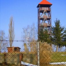
Žernov
3.1 km
Dubno
3.7 km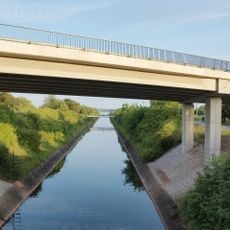
Úpský přivaděč
3.7 km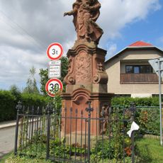
Statue of Saint Joseph and Jesus Christ as a baby in Studnice
1.4 km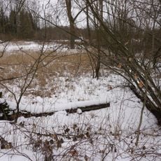
Pod Rýzmburkem
3.5 km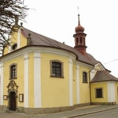
Church of Saint John of Nepomuk
1.4 km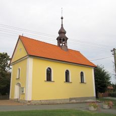
Kaple Panny Marie Sněžné
2.7 km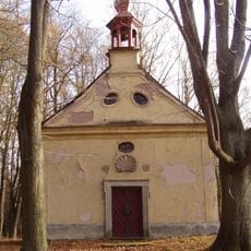
Chapel of the Nativity of the Virgin Mary in Zlíč
3.1 km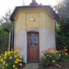
Chapel of Saint Mary
3.2 km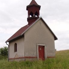
Kaple Nanebevzetí Panny Marie
3 km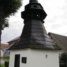
Chapel of Virgin Mary
3.2 km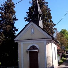
Chapel of the Holy Name of Virgin Mary
3.1 km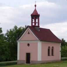
Chapel of Saint Anthony of Padua
2.1 km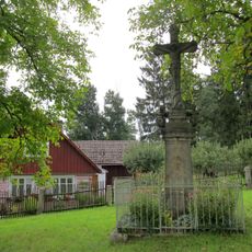
Krucifix
719 m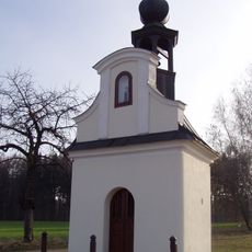
Chapel of Holy Trinity
1.5 km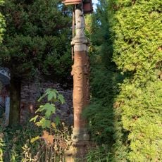
Statue in Horní Rybníky
3.5 km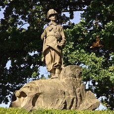
Pomník z války 1866 - myslivec
3.3 km
Babička s vnoučaty
3.2 km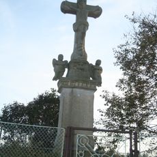
Kříž v Trubějově
1.4 km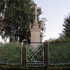
Krucifix
1.4 km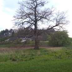
Nývltův dub
3.3 km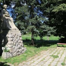
Památník Boženy Němcové ve Zlíči
3.6 km
Náchod Airport
3 km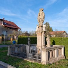
Statue of the Holy Trinity in Horní Rybníky
3.5 km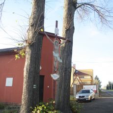
Dřevěný kříž v Horních Rybníkách
3.5 kmVisited this place? Tap the stars to rate it and share your experience / photos with the community! Try now! You can cancel it anytime.
Discover hidden gems everywhere you go!
From secret cafés to breathtaking viewpoints, skip the crowded tourist spots and find places that match your style. Our app makes it easy with voice search, smart filtering, route optimization, and insider tips from travelers worldwide. Download now for the complete mobile experience.

A unique approach to discovering new places❞
— Le Figaro
All the places worth exploring❞
— France Info
A tailor-made excursion in just a few clicks❞
— 20 Minutes