
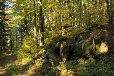
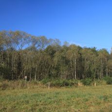
Malá skála, protected area in Czech Republic
Location: Janské Údolí
Inception: November 1, 1996
GPS coordinates: 48.90860,14.18170
Latest update: March 10, 2025 04:44
Hadce u Dobročkova
1.9 km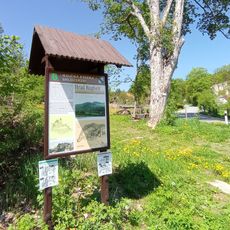
Brložsko
3.6 km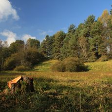
Dobročkovské hadce
1.8 km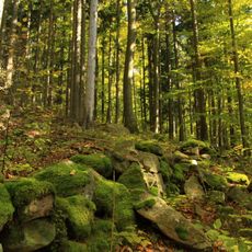
Ptačí stěna
778 m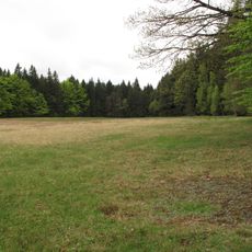
Provázková meadow
2.5 km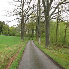
Borová alej
2.8 km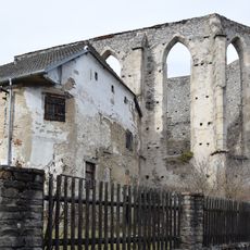
Church of Saint Andrew
2.6 km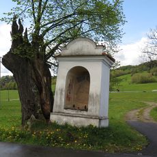
Výklenková kaplička Panny Marie Kájovské
3.6 km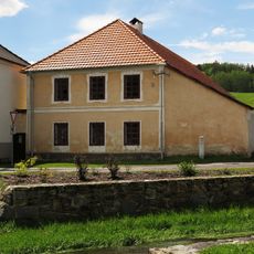
Usedlost čp. 42
3.6 km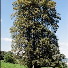
Baisova lípa
3.2 km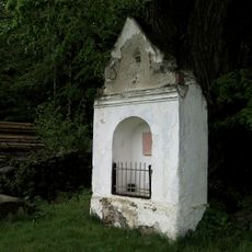
Výklenková kaplička
2.7 km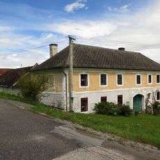
Usedlost čp. 11
3 km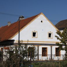
Usedlost čp. 5
3.6 km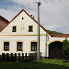
Usedlost čp. 85
3.6 km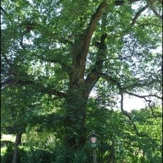
Kuklovský dub
2.7 km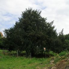
Tis obecný
3.6 km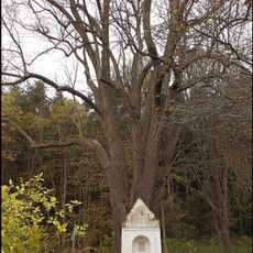
Kuklwaitská lípa
2.7 km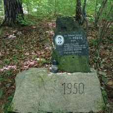
1950 memorial in Brloh
3.1 km
Wayside cross in the west of Brloh
3.5 km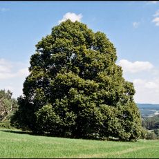
Lípa srdčitá
2.7 km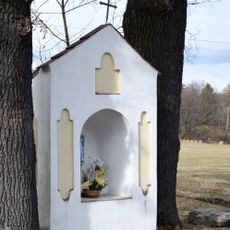
Niche chapel in Kuklov
2.7 km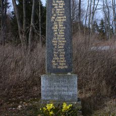
Memorial in Kuklov
2.6 km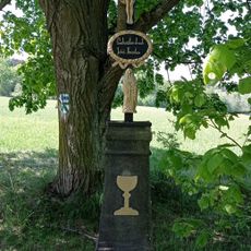
Wayside cross at Brloh - Špatenka
3.2 km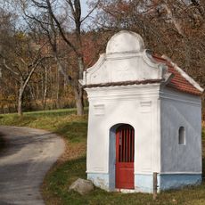
Chapel in Borová
2.8 km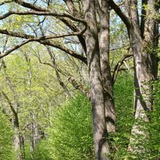
Oak tree avenue in Brloh
2.2 km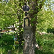
Wayside cross in Kuklov
2.6 km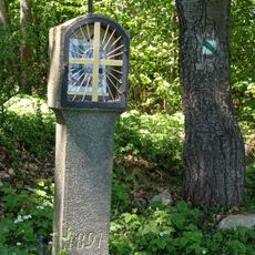
Column shrine with a lantern in Brloh
3.5 km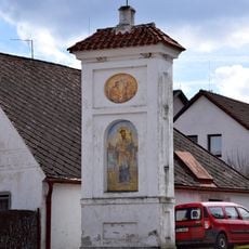
Column shrine in Brloh
3.4 kmReviews
Visited this place? Tap the stars to rate it and share your experience / photos with the community! Try now! You can cancel it anytime.
Discover hidden gems everywhere you go!
From secret cafés to breathtaking viewpoints, skip the crowded tourist spots and find places that match your style. Our app makes it easy with voice search, smart filtering, route optimization, and insider tips from travelers worldwide. Download now for the complete mobile experience.

A unique approach to discovering new places❞
— Le Figaro
All the places worth exploring❞
— France Info
A tailor-made excursion in just a few clicks❞
— 20 Minutes