
Staré jezero, protected area in Czech Republic
Location: Chlum u Třeboně
Inception: December 1, 1994
Elevation above the sea: 442 m
GPS coordinates: 48.97820,14.88940
Latest update: March 3, 2025 01:58
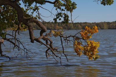
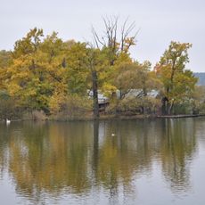
Landschaftsschutzpark Wittingauer Becken
3.1 km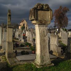
Stations of the cross (Lutová)
2.1 km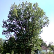
Dub u Zájezku
3.4 km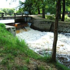
Lávka nad jezem Rozvodí
3.1 km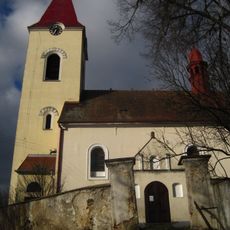
All Saints Church (Lutová)
2.1 km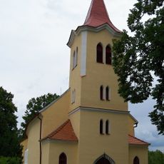
Church of Saint Mary Magdalene
2.3 km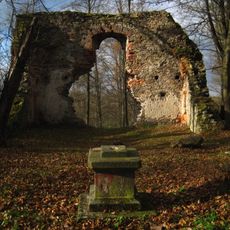
Ruined church of the Birth of Virgin Mary
2.1 km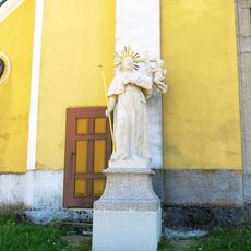
Socha světce vlevo u severního portálu kostela Nanebevzetí v Chlumu u Třeboně
3.5 km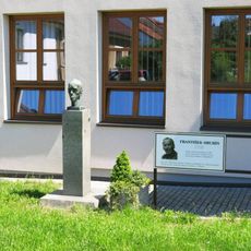
Pomník Františka Hrubína u knihovny na Náměstí v Chlumu u Třeboně
3.4 km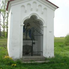
Kaple Loučení Panny Marie
2.3 km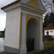
Chapel of Saint John of Nepomuk
2 km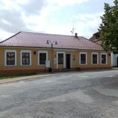
Chlum u Třeboně 115
3.4 km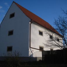
Granary
2 km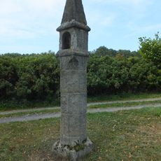
Wayside shrine in Žíteč
3.4 km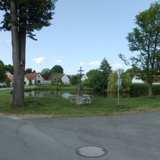
Kříž
3 km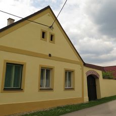
Lutová 36
1.8 km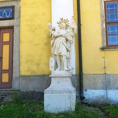
Socha svatého Floriána vpravo u severního portálu kostela Nanebevzetí v Chlumu u Třeboně
3.4 km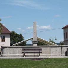
Fountain
3.4 km
Sýpka
3 km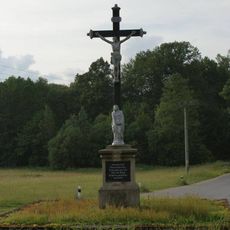
Boží muka na západním okraji obce u silnice na Majdalenu
3.3 km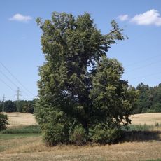
Lípa u Planinského rybníka
2.3 km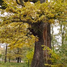
Majdalenský dub
3.3 km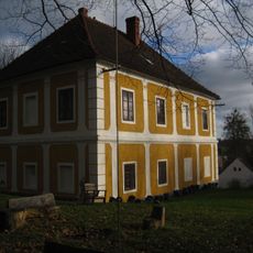
Rectory
2 km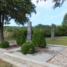
World War I memorial in Žíteč
3.4 km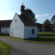
Chapel of the Assumption of the Virgin Mary
3.1 km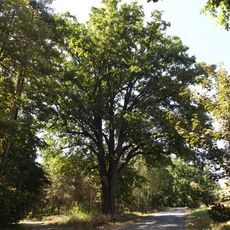
Dub na rozcestí
2.2 km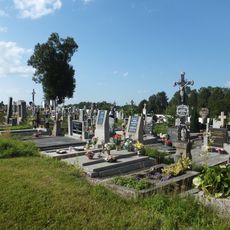
Hřbitov Chlum u Třeboně
2.1 km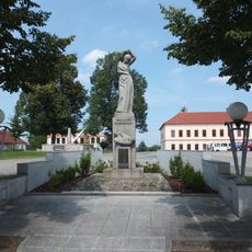
World War I memorial in Chlum u Třeboně
3.4 kmReviews
Visited this place? Tap the stars to rate it and share your experience / photos with the community! Try now! You can cancel it anytime.
Discover hidden gems everywhere you go!
From secret cafés to breathtaking viewpoints, skip the crowded tourist spots and find places that match your style. Our app makes it easy with voice search, smart filtering, route optimization, and insider tips from travelers worldwide. Download now for the complete mobile experience.

A unique approach to discovering new places❞
— Le Figaro
All the places worth exploring❞
— France Info
A tailor-made excursion in just a few clicks❞
— 20 Minutes