
Bohdánkov, village in Liberec District of Liberec region
Location: Bílá
Elevation above the sea: 392 m
GPS coordinates: 50.68170,15.05250
Latest update: March 11, 2025 08:28
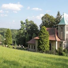
Chapel of Saint Anthony of Padua
2.1 km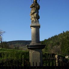
Sloup se sochou Panny Marie
2.3 km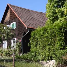
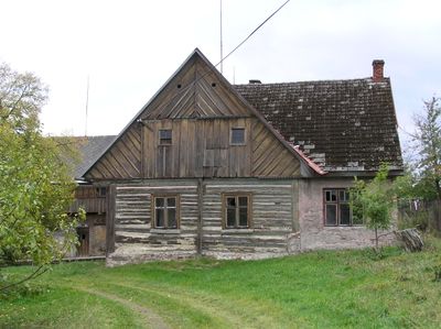
Venkovská usedlost, Bohdánkov, č.p. 5
74 m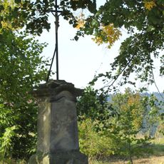
Sokl krucifixu
2.8 km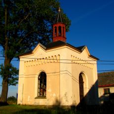
Chapel of Saint John the Baptist
2.5 km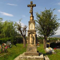
Central cemetery cross in Bílá
2.6 km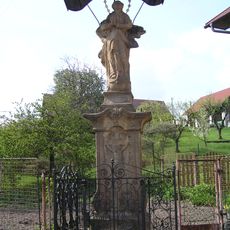
Statue of Immaculata in Bohdánkov
13 m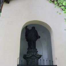
Chapel of Saint John of Nepomuk
2.8 km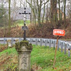
Wayside cross in Záskalí
2.5 km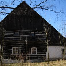
Luhov 17
1.6 km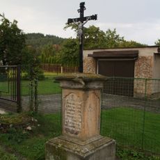
Krucifix
2.6 km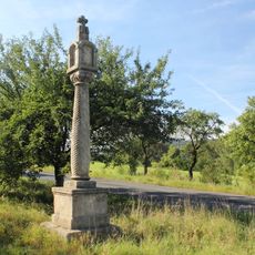
Wayside shrine in Hodkovice nad Mohelkou
2.2 km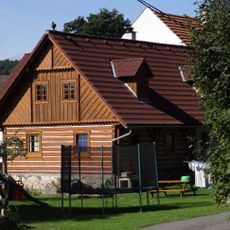
Petrašovice 3
1.6 km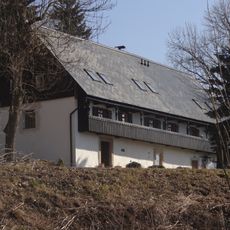
Dům če. 9
1.9 km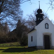
Chapel in Vlčetín
2.5 km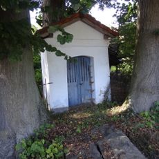
Chapel of Saint Anne
2.1 km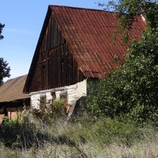
Petrašovice 26
1.7 km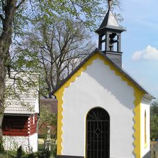
Chapel in Bohdánkov
41 m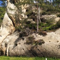
Medvědice
2.4 km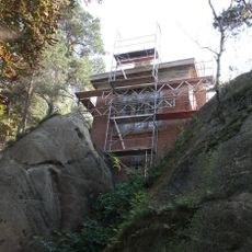
Water tower
2.4 km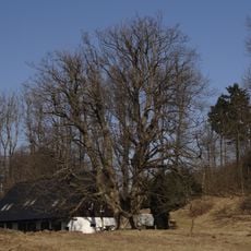
Javor klen u Kotků
1.9 km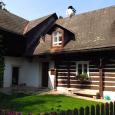
Bílá 20
2.2 km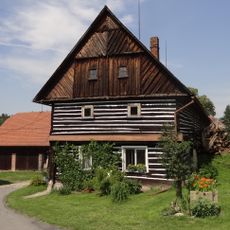
Kohoutovice 5
2.7 km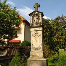
Wayside shrine in Bílá
2 km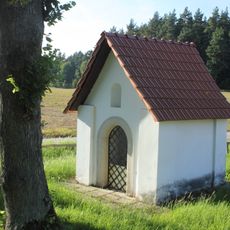
Chapel in Bílá
1.4 km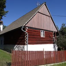
Bohdánkov 2
56 m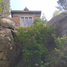
Water tank
2.4 km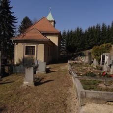
Cemetery in Rašovka
2 kmReviews
Visited this place? Tap the stars to rate it and share your experience / photos with the community! Try now! You can cancel it anytime.
Discover hidden gems everywhere you go!
From secret cafés to breathtaking viewpoints, skip the crowded tourist spots and find places that match your style. Our app makes it easy with voice search, smart filtering, route optimization, and insider tips from travelers worldwide. Download now for the complete mobile experience.

A unique approach to discovering new places❞
— Le Figaro
All the places worth exploring❞
— France Info
A tailor-made excursion in just a few clicks❞
— 20 Minutes