
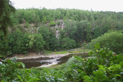
Dubná, protected area in Czech Republic
Location: Vojníkov
Inception: 1973
GPS coordinates: 49.36290,14.15410
Latest update: March 6, 2025 10:08
Lázně Vráž
2.7 km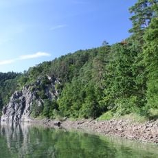
Výří skály u Oslova
4 km
Čertova hora u Vráže
4.1 km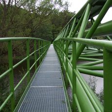
Gas footbridge, Vrcovice
1.6 km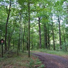
Žlíbky u Vráže
2.1 km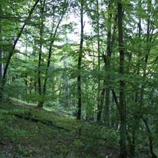
Dědovické stráně
3.7 km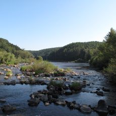
Tlučkův mlýn
684 m
Výří skály nad Otavou
4 km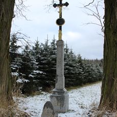
Penitence cross 0281
3 km
Chapel of Saint John of Nepomuk
3.9 km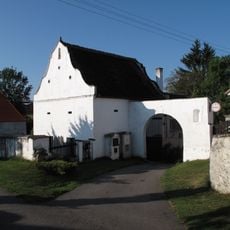
Sýpka usedlosti čp. 7
1.9 km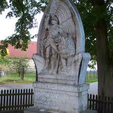
World war I memorial
2 km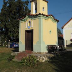
Chapel in Vojníkov
1.9 km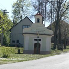
Chapel of Saint John of Nepomuk
2.5 km
World War I memorial in Zlivice
3.6 km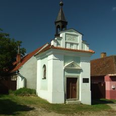
Chapel of Virgin Mary
1.1 km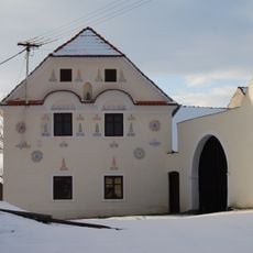
Usedlost čp. 4
4.1 km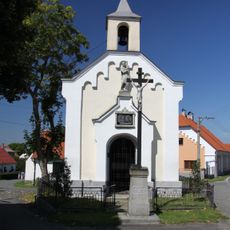
Chapel of Saint Wenceslaus
2.9 km
Chapel of Saint Anne
1.1 km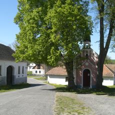
Kaple ve Svatonicích
4 km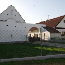
Usedlost čp. 11
2.4 km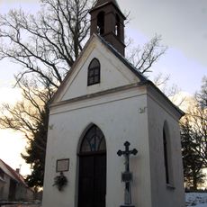
Chapel of Virgin Mary
3.6 km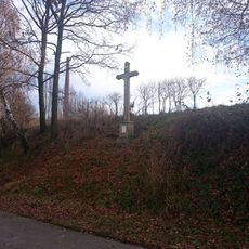
Kříž jihovýchodně od Svatonic
4.1 km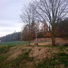
Kříž západně od Svatonic
3.6 km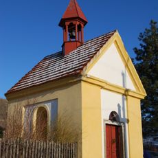
Chapel of Virgin Mary
3.6 km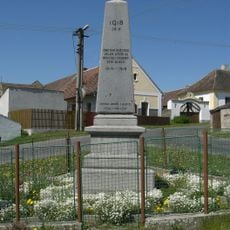
Pomník padlým ve Vlastci
4.2 km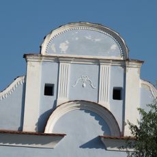
Brána a špýchar usedlosti čp. 4
1.9 km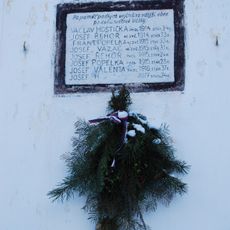
World War I memorial in Dědovice
3.6 kmReviews
Visited this place? Tap the stars to rate it and share your experience / photos with the community! Try now! You can cancel it anytime.
Discover hidden gems everywhere you go!
From secret cafés to breathtaking viewpoints, skip the crowded tourist spots and find places that match your style. Our app makes it easy with voice search, smart filtering, route optimization, and insider tips from travelers worldwide. Download now for the complete mobile experience.

A unique approach to discovering new places❞
— Le Figaro
All the places worth exploring❞
— France Info
A tailor-made excursion in just a few clicks❞
— 20 Minutes