
Koprník, village in Mladá Boleslav District of Central Bohemian region
Location: Kněžmost
Elevation above the sea: 227 m
GPS coordinates: 50.46940,15.01310
Latest update: March 4, 2025 22:43

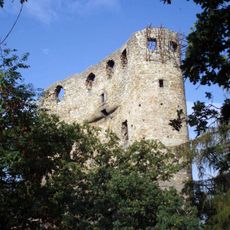
Castle Valečov
4.7 km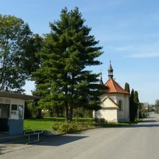
Chapel of Saint Anne
3.8 km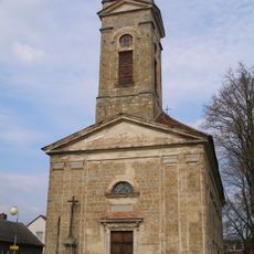
Church of Saint Francis of Assisi (Kněžmost)
2.9 km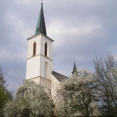
Church of the Assumption of the Virgin Mary
4.1 km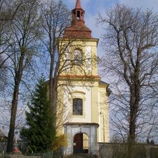
Church of Saint Wenceslaus
4 km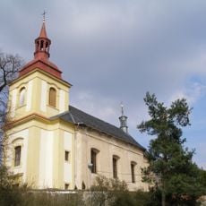
Římskokatolická farnost Boseň
4 km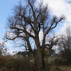
Lime in Boseň
4.5 km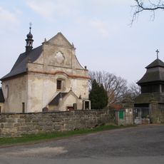
Holy Trinity church
3.6 km
Římskokatolická farnost Kněžmost
2.9 km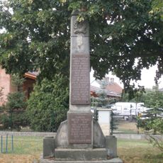
World Wars Memorial in Obrubce
4.3 km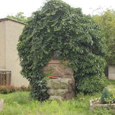
World War I memorial in Buda
2.4 km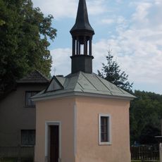
Chapel of the Assumption in Buda
2.4 km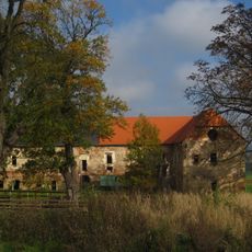
Studénka
3.3 km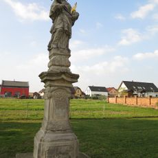
Socha svatého Jana Nepomuckého
2.7 km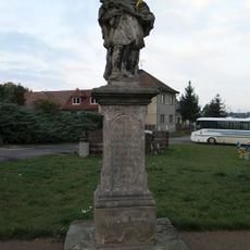
Socha svatého Jana Nepomuckého
2.8 km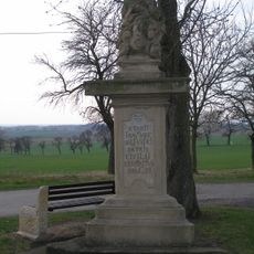
Sousoší Nejsvětější Trojice
3.6 km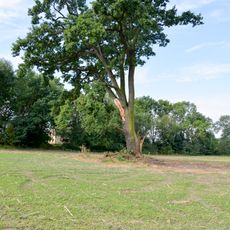
Dub letní v Budě
2.4 km
Sýpka usedlosti čp. 7
3.5 km
Dům čp. 59
3 km
Fara
4 km
Horní Stakory - sýpka u čp. 21
4.2 km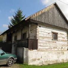
Hospodářská budova usedlosti čp. 18
4.7 km
Dům U Cerhů
2.8 km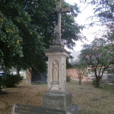
Cross in Obora
3.5 km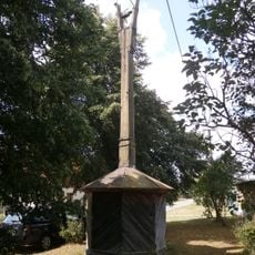
Bell tower in Obora
3.5 km
Wooden bell tower in Všeborsko
3.6 km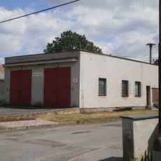
Obrubce municipal office
4.4 km
Granary in Obrubce
4.3 kmReviews
Visited this place? Tap the stars to rate it and share your experience / photos with the community! Try now! You can cancel it anytime.
Discover hidden gems everywhere you go!
From secret cafés to breathtaking viewpoints, skip the crowded tourist spots and find places that match your style. Our app makes it easy with voice search, smart filtering, route optimization, and insider tips from travelers worldwide. Download now for the complete mobile experience.

A unique approach to discovering new places❞
— Le Figaro
All the places worth exploring❞
— France Info
A tailor-made excursion in just a few clicks❞
— 20 Minutes