
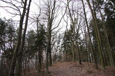
Kuřidlo, protected area in Czech Republic
Location: Strakonice
Inception: December 1, 1985
Elevation above the sea: 546 m
GPS coordinates: 49.27350,13.87810
Latest update: March 10, 2025 13:19
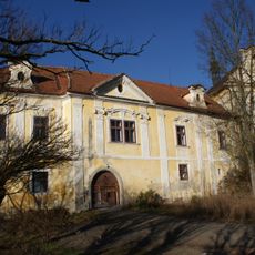
Střela Castle
1.9 km
Ryšovy
1.3 km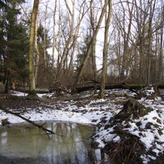
Bažantnice u Pracejovic
1.7 km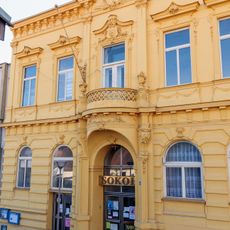
Sokolovna ve Strakonicích
2.2 km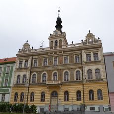
Old town hall in Strakonice
2.2 km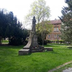
Památník Jana Husa ve Strakonicích
2 km
Busta F. L. Čelakovského od Vojtěcha Šípa
2 km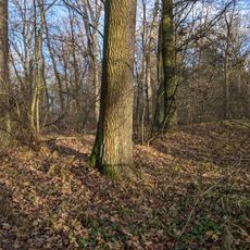
Rýžoviště zlata
1.7 km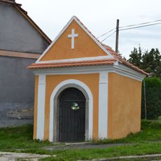
Chapel of Saint John of Nepomuk-Brušák’s chapel
2.1 km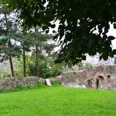
City walls of Strakonice
2 km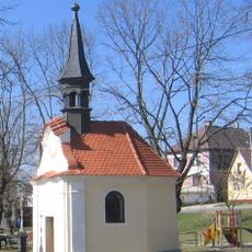
Chapel of Saint John of Nepomuk
794 m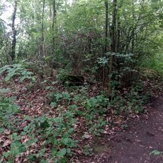
Relic of gallows in Strakonice
1.9 km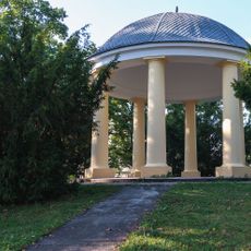
Cultural monuments in Rennerovy sady
2 km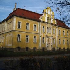
Sirotčinec
2 km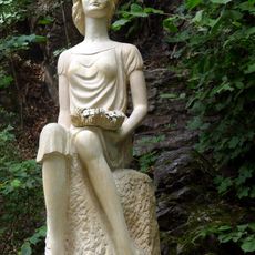
Socha Dorotky
2 km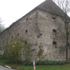
Granary in Střela
2 km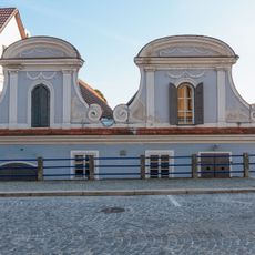
Velké náměstí 45
2.2 km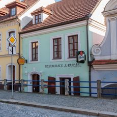
Dům čp. 44
2.2 km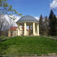
Gazebo in Rennerovy sady
2 km
Chapel of Saint John the Baptist in Střela
2 km
Švandova lípa
2.2 km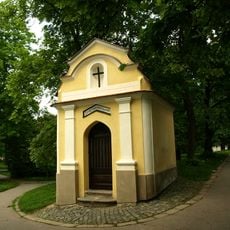
Chapel of Saint John of Nepomuk in Strakonice
2 km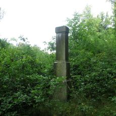
Kříž u Střely na svahu
2 km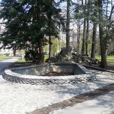
Rennerova kašna
2.1 km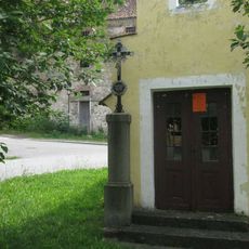
Kříž u kaple ve Střele
2 km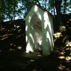
Výklenková kaple svatého Petra ve Strakonicích
1.9 km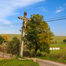
Kříž v Droužeticích u rozcestí
2.1 km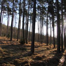
Ryšovy
1.3 kmReviews
Visited this place? Tap the stars to rate it and share your experience / photos with the community! Try now! You can cancel it anytime.
Discover hidden gems everywhere you go!
From secret cafés to breathtaking viewpoints, skip the crowded tourist spots and find places that match your style. Our app makes it easy with voice search, smart filtering, route optimization, and insider tips from travelers worldwide. Download now for the complete mobile experience.

A unique approach to discovering new places❞
— Le Figaro
All the places worth exploring❞
— France Info
A tailor-made excursion in just a few clicks❞
— 20 Minutes