
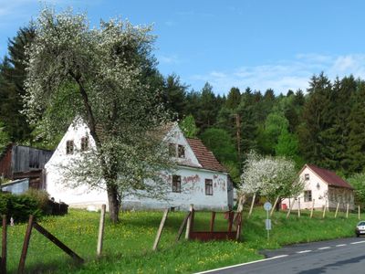
Nahořany, part of Větřní in Český Krumlov District
Location: Větřní
Elevation above the sea: 640 m
GPS coordinates: 48.71780,14.32920
Latest update: March 10, 2025 13:24
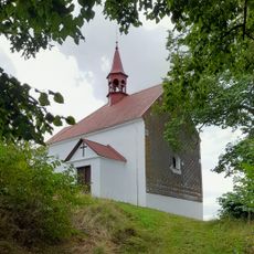
Chapel in Malšín
5.9 km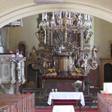
Church of the Assumption of the Virgin Mary
4.8 km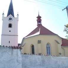
Church of Sacred Heart
5.5 km
Běleňská lípa
3.2 km
Church of Saint John the Baptist
1.1 km
Poluška
6.7 km
New Jewish cemetery in Rožmberk nad Vltavou
6.6 km
Hrádek u Ostrova
5.9 km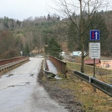
Most přes Vltavu u kempu Vltava
2.1 km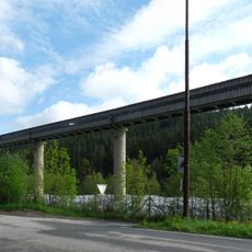
Dopravníkový most v papírnách ve Větřní
6.3 km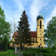
Church of Saint John of Nepomuk
7 km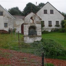
Výklenková kaplička
5.8 km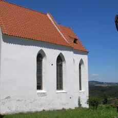
Chapel of the Visitation of Our Lady
2.7 km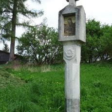
Boží muka
4.3 km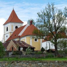
Church of Saints Peter and Paul
2.7 km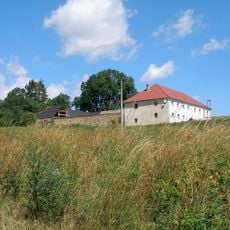
Usedlost čp. 4
4.9 km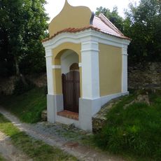
Výklenková kaplička
2.7 km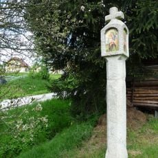
Boží muka
4.2 km
Sousoší svatého Jana Nepomuckého
4.7 km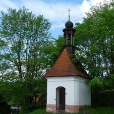
Kaple
5.8 km
Michnická lípa
5.4 km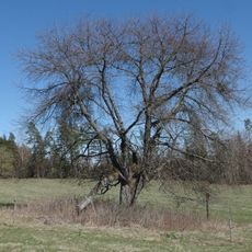
Třešeň ptačí
6.2 km
Fara
1.1 km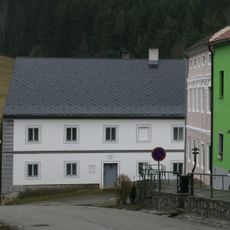
Dům čp. 39
4.8 km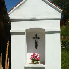
Chapel shrine in Dobrné
4.9 km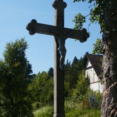
Cross in Dobrné
4.9 km
Cemetery in Malšín
5.5 km
Most Zátoň - Zátoňské Dvory
1.1 kmReviews
Visited this place? Tap the stars to rate it and share your experience / photos with the community! Try now! You can cancel it anytime.
Discover hidden gems everywhere you go!
From secret cafés to breathtaking viewpoints, skip the crowded tourist spots and find places that match your style. Our app makes it easy with voice search, smart filtering, route optimization, and insider tips from travelers worldwide. Download now for the complete mobile experience.

A unique approach to discovering new places❞
— Le Figaro
All the places worth exploring❞
— France Info
A tailor-made excursion in just a few clicks❞
— 20 Minutes