
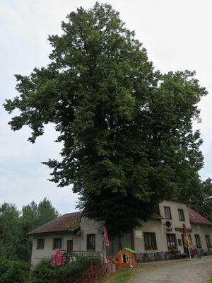
Obecní lípa, memorable tree in Náchod District, Czech Republic
Location: Stárkov
Height: 24 m
GPS coordinates: 50.51358,16.12172
Latest update: March 6, 2025 01:33
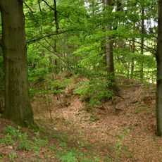
Bystrý
2.8 km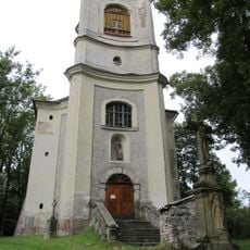
Church of Saint Joseph
3.2 km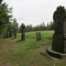
Stations of the Cross in Stárkov
2.6 km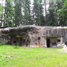
T-S 19 Turov casemate
1.2 km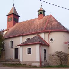
Church of the Assumption
1.6 km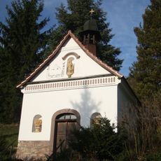
Chapel of Holy Trinity
3.2 km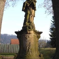
Socha svatého Jana Nepomuckého
3.2 km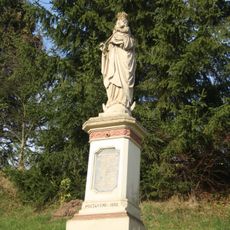
Socha Panny Marie
3.2 km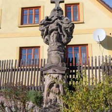
Statue of the Holy Trinity in Bystré
771 m
Památník vysílačky Libuše
1.7 km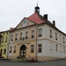
Radnice
3.3 km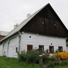
Dům čp. 53
3.4 km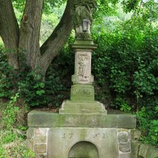
Sloup se sochou svatého Jana Nepomuckého
2.8 km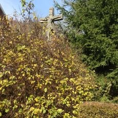
Kříž u domu čp. 1 ve Vápence
3.2 km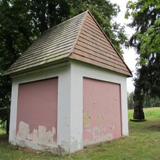
Chapel of Fourteen Holy Helpers
2.6 km
Fara
3.3 km
Sousoší Ukřižování
3.2 km
Wayside cross in Bystré
1.2 km
Kříž u kaple v Rokytníku
3.2 km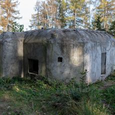
F2/72/A-160Z light pillbox
802 m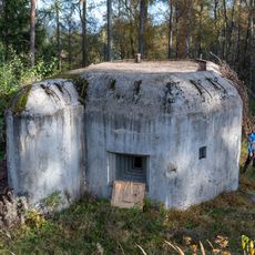
F2/73/A-160Z light pillbox
912 m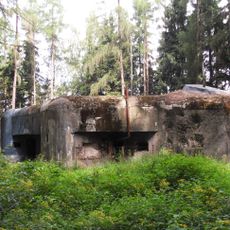
T-S 20 Na pláni casemate
681 m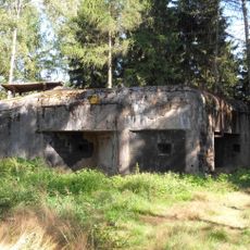
T-S 28 Nad pramenem casemate
2.9 km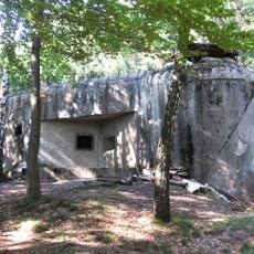
T-S 27 Nad vesnicí casemate
2.7 km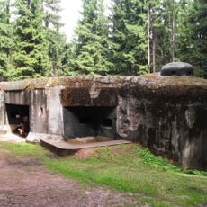
T-S 26 Nad rybníkem casemate
2.4 km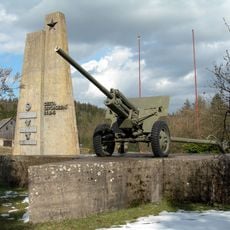
Pomník osvobození
2.7 km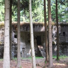
T-S 25 U cesty casemate
1.8 km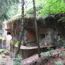
T-S 24 casemate
1.4 kmReviews
Visited this place? Tap the stars to rate it and share your experience / photos with the community! Try now! You can cancel it anytime.
Discover hidden gems everywhere you go!
From secret cafés to breathtaking viewpoints, skip the crowded tourist spots and find places that match your style. Our app makes it easy with voice search, smart filtering, route optimization, and insider tips from travelers worldwide. Download now for the complete mobile experience.

A unique approach to discovering new places❞
— Le Figaro
All the places worth exploring❞
— France Info
A tailor-made excursion in just a few clicks❞
— 20 Minutes