
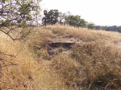
Oblík u Dívčího Hradu, protected area in Czech Republic
Location: Dívčí Hrad
Inception: April 26, 1966
GPS coordinates: 50.24780,17.62890
Latest update: March 3, 2025 00:03
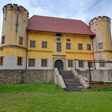
Zámek Dívčí Hrad
505 m
Liptáňský bludný balvan
4.4 km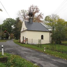
Chapel of Saint Florian
4.6 km
Castle in Trzebina
5.2 km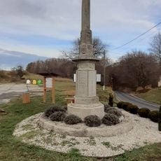
Pomník padlým v 1. světové válce
538 m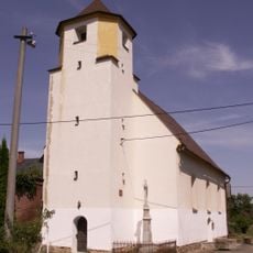
Church of Saint Valentine
4.6 km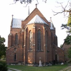
Church of the Assumption of the Virgin Mary
3.3 km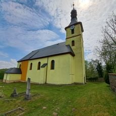
Church of the Visitation of Our Lady
2.1 km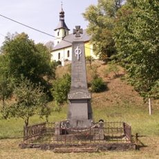
Pomník padlým v 1 světové válce v Pitárném
2 km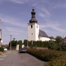
Church of Saint Urban in Vysoká (Bruntál District)
3.2 km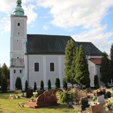
Church of the Assumption in Trzebina
5.1 km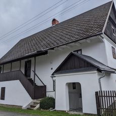
Liptaň čp. 140
3.5 km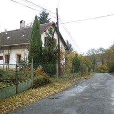
Dům čp. 35
4.1 km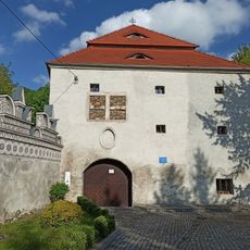
Multicultural Regional Chamber of History in Trzebina
5.2 km
Socha svatého Jana Nepomuckého
529 m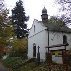
Kaple Panny Marie Pomocné
3.2 km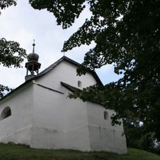
Kaple Panny Marie Pomocné
4.2 km
Četnická stanice v Liptani
3.8 km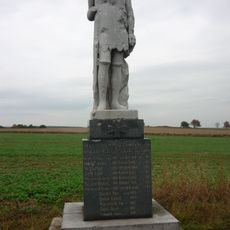
Památník padlým v 1 světové válce v Hlince
4.1 km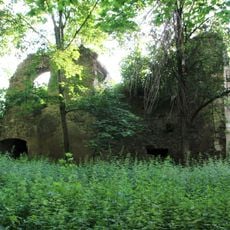
Ruins in Trzebina
5.2 km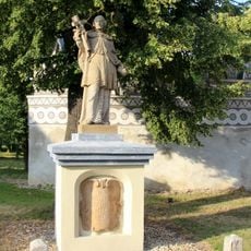
John of Nepomuk statue in Trzebina
5.2 km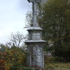
Kříž jižně od Bučávky
4.9 km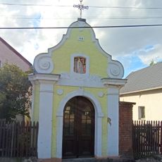
Kapliczka II
5.1 km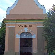
Kapliczka
5.2 km
Kapliczka przykościelna w Trzebinie
5.1 km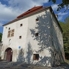
Granarie in Trzebina
5.2 km
Kapliczka przy murze zamkowym w Trzebinie
5.2 km
Kapliczka III
5 kmReviews
Visited this place? Tap the stars to rate it and share your experience / photos with the community! Try now! You can cancel it anytime.
Discover hidden gems everywhere you go!
From secret cafés to breathtaking viewpoints, skip the crowded tourist spots and find places that match your style. Our app makes it easy with voice search, smart filtering, route optimization, and insider tips from travelers worldwide. Download now for the complete mobile experience.

A unique approach to discovering new places❞
— Le Figaro
All the places worth exploring❞
— France Info
A tailor-made excursion in just a few clicks❞
— 20 Minutes