
Tetčiněves, village in Litoměřice District of Ústí nad Labem region
Location: Úštěk
Elevation above the sea: 209 m
GPS coordinates: 50.56110,14.34610
Latest update: March 3, 2025 11:06
Na Černčí
2.5 km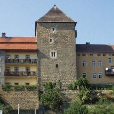
City walls of Úštěk
2.5 km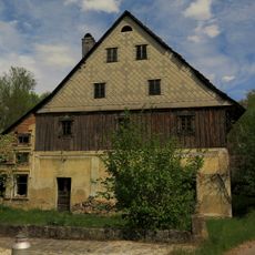
Vodní mlýn
1.5 km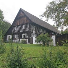
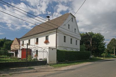
Dům čp. 4
1.9 km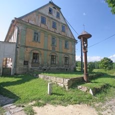
Klášterní zemědělský dvůr čp. 2
1.6 km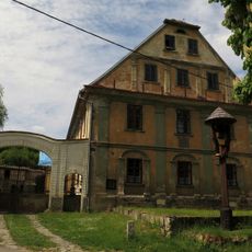
Dům čp. 6
1.5 km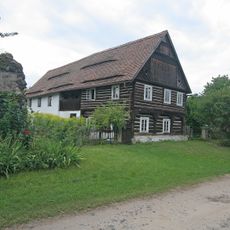
Dům čp. 2
1.8 km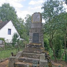
World War II memorial in Tetčiněves
19 m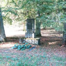
Pomník osvobození na návsi v Rochově
1.5 km
Usedlost čp. 41
1.6 km
Northern World War I memorial in Lhota
1.9 km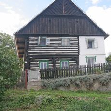
Dům čp. 63
246 m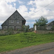
Usedlost čp. 38
303 m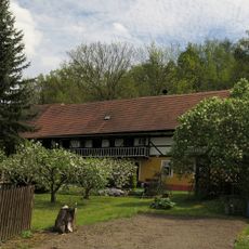
Dům čp. 39
1.6 km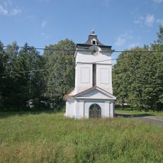
Kaple Panny Marie v Rochově
1.5 km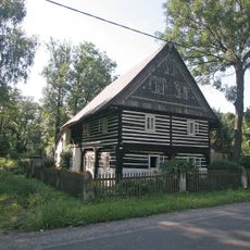
Dům čp. 10
1.4 km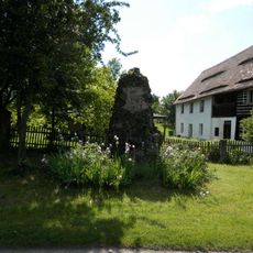
Southern World War I memorial in Lhota
1.9 km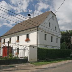
Dům čp. 8
61 m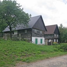
Usedlost čp. 3
1.8 km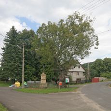
Kříž v Tetčiněvsi na křižovatce
3 m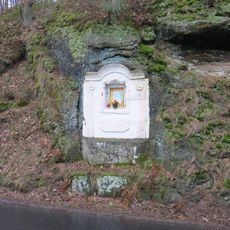
Skalní kaplička u silnice z Úštěka do Ostrého
2.7 km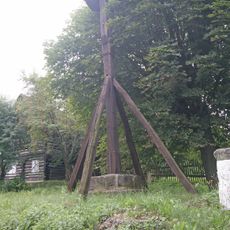
Bell tower, fountain and column in Lhota
1.9 km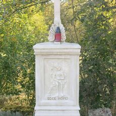
Kříž u mostu přes Úštěcký potok severně od Rochova
1 km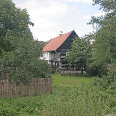
Dům čp. 15
66 m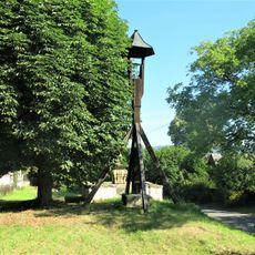
Bell tower in Lhota
1.8 km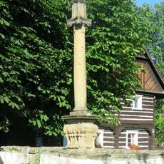
Fountain with column shrine in Lhota
1.8 km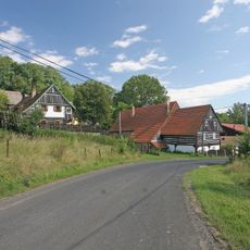
Usedlost čp. 18
1.4 km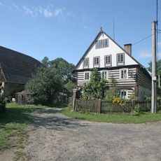
Rochov 11
1.4 kmReviews
Visited this place? Tap the stars to rate it and share your experience / photos with the community! Try now! You can cancel it anytime.
Discover hidden gems everywhere you go!
From secret cafés to breathtaking viewpoints, skip the crowded tourist spots and find places that match your style. Our app makes it easy with voice search, smart filtering, route optimization, and insider tips from travelers worldwide. Download now for the complete mobile experience.

A unique approach to discovering new places❞
— Le Figaro
All the places worth exploring❞
— France Info
A tailor-made excursion in just a few clicks❞
— 20 Minutes