
Topol u varnsdorfského nádraží, memorable tree in Děčín District, Czech Republic
Location: Varnsdorf
Height: 33 m
GPS coordinates: 50.90260,14.64340
Latest update: March 3, 2025 00:16

Zitavska 938
552 m
Žitavská 2055
636 m
Hauptstr.18
650 m
Hauptstr.20
674 m
Hauptstr.16
614 m
Obere Mandaustraße 27
684 m
Hauptstr.12
572 m
Hauptstraße 16; 16a
620 m
Kolínská 930
662 m
Obere Mandaustraße 23a
645 m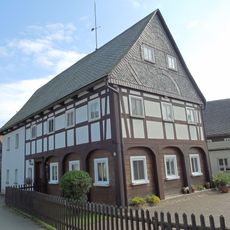
Zollgasse 1
658 m
Hauptstraße 22
697 m
Hauptstraße 2; 2a
512 m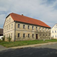
Hauptstraße 20
669 m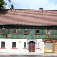
Žitavská 922
611 m
Obere Mandaustraße 20
682 m
Obere Mandaustraße 21
692 m
Extinguisher station Obere Mandaustraße
627 m
Hauptstraße 3; 3a
558 m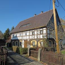
Obere Mandaustraße 26
656 m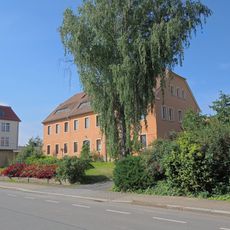
Hauptstraße 6
535 m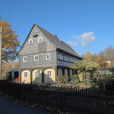
Obere Mandaustraße 28
676 m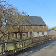
Obere Mandaustraße 29
671 m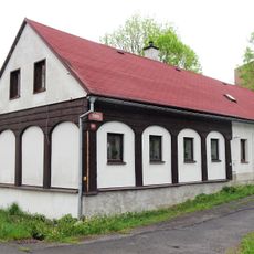
Horní nábřeží 877
682 m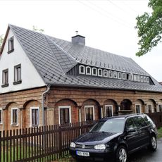
Dolní nábřeží 895
684 m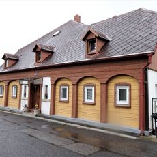
Dolní nábřeží 936
634 m
Dolní nábřeží 894
678 m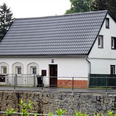
Dolní nábřeží 893
673 mReviews
Visited this place? Tap the stars to rate it and share your experience / photos with the community! Try now! You can cancel it anytime.
Discover hidden gems everywhere you go!
From secret cafés to breathtaking viewpoints, skip the crowded tourist spots and find places that match your style. Our app makes it easy with voice search, smart filtering, route optimization, and insider tips from travelers worldwide. Download now for the complete mobile experience.

A unique approach to discovering new places❞
— Le Figaro
All the places worth exploring❞
— France Info
A tailor-made excursion in just a few clicks❞
— 20 Minutes