
Sklenářovické údolí, protected area in Czech Republic
Location: Mladé Buky
Inception: March 1, 2009
GPS coordinates: 50.63310,15.85060
Latest update: March 29, 2025 21:16

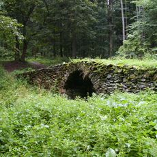
Gold mine with safes and a bridge over Gold streem
954 m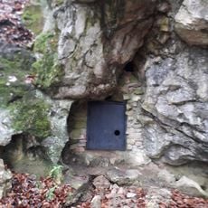
Medvědí jeskyně
2.2 km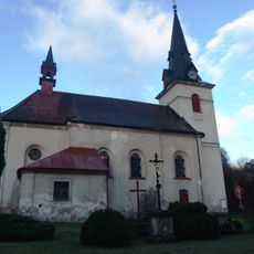
Church of Saint John of Nepomuk
2.7 km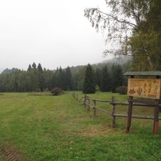
Slunečná stráň
1.8 km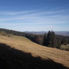
Sněžné Domky
2.5 km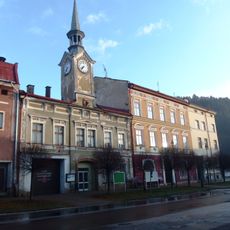
Town hall in Svoboda nad Úpou
2.6 km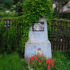
Memorial to 1897 flood victims
2.7 km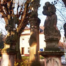
Sousoší Panny Marie, svatého Floriána a svatého Antonína
2.7 km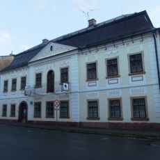
Dům čp. 506
2.6 km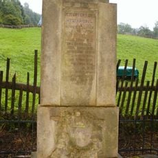
World War I memorial in Sklenářovice
24 m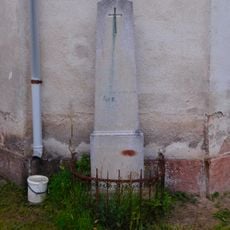
Pomník u kostela
2.7 km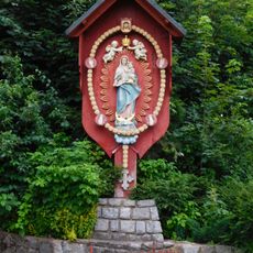
Our Lady of the Rosary
2.7 km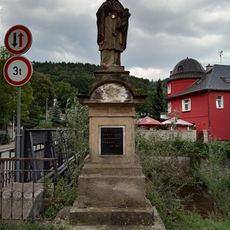
Statue of Saint John of Nepomuk in Svoboda nad Úpou
2.6 km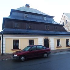
Dům čp. 442
2.6 km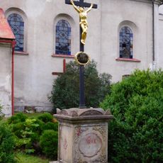
Cross in Kostelní street
2.7 km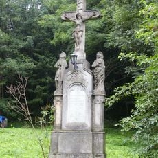
Cross in Bystřice
1.6 km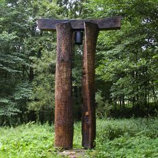
Bell tower in Sklenářovice
948 m
Relief of Svoboda nad Úpou coat of arms
2.7 km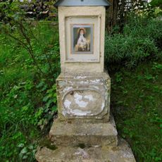
Chapel shrine at Nový svět
2.7 km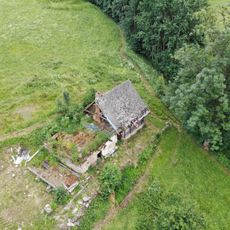
Dům čp. 9
2.2 km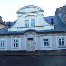
Dům čp. 507
2.6 km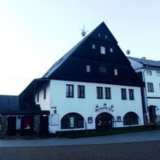
Svoboda nad Úpou 497
2.5 km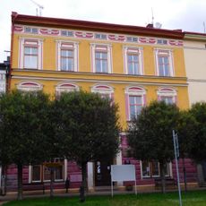
Svoboda nad Úpou municipal office
2.6 km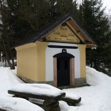
Ochranná kaple ve Sklenářovicích
595 m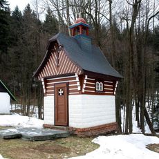
Kaple svatého Antonína v Antonínově Dole
1.4 km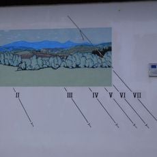
Sundial at Náměstí svornosti
2.5 km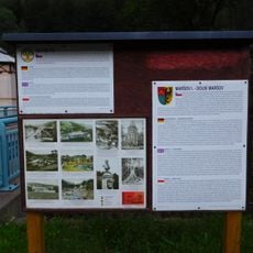
Via Piette
2.5 km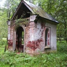
Chapel of the Visitation
1.6 kmReviews
Visited this place? Tap the stars to rate it and share your experience / photos with the community! Try now! You can cancel it anytime.
Discover hidden gems everywhere you go!
From secret cafés to breathtaking viewpoints, skip the crowded tourist spots and find places that match your style. Our app makes it easy with voice search, smart filtering, route optimization, and insider tips from travelers worldwide. Download now for the complete mobile experience.

A unique approach to discovering new places❞
— Le Figaro
All the places worth exploring❞
— France Info
A tailor-made excursion in just a few clicks❞
— 20 Minutes