
Stráně nad Suchým potokem, protected area in Czech Republic
Location: Encovany
Inception: July 4, 2012
Founders: Ústí nad Labem Region
GPS coordinates: 50.52871,14.26019
Latest update: March 6, 2025 23:37

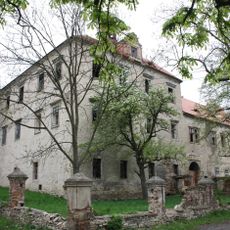
Encovany (zámek)
801 m
Chapel of Saint Wenceslaus
788 m
Hořidla (observation tower)
1.5 km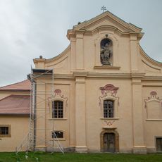
Church of the Nativity of the Virgin Mary
1.8 km
Holý vrch
1.7 km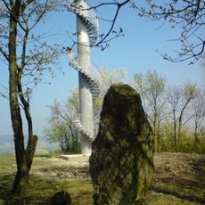
Úštěcká pahorkatina
1.4 km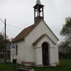
Chapel of the Holy Guardian Angels
791 m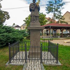
Statue of John of Nepomuk in Hrušovany
1.8 km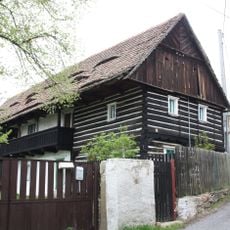
Encovany 17
779 m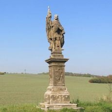
Socha svatého Václava
1.9 km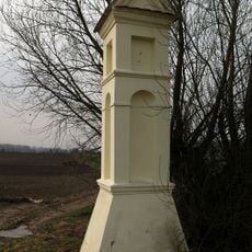
Boží muka
999 m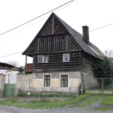
Encovany 7
868 m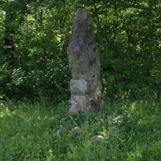
Památník východně od rozhledny Hořidla u Chotíněvsi
1.5 km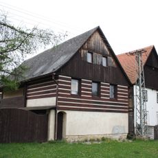
Hrušovany
1.8 km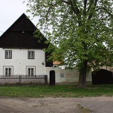
Hrušovany
1.8 km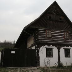
Dům čp. 10
904 m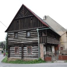
Encovany 16
786 m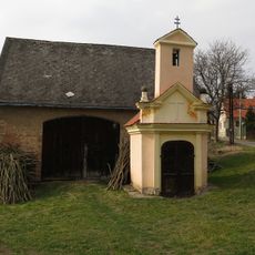
Výklenková kaplička
1.4 km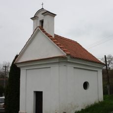
Village chapel
1.8 km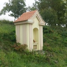
Výklenková kaple v Encovanech
1.3 km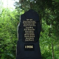
Pomník padlým v Třebutičkách
1.3 km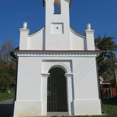
Kaple v Trnové u Polep
1.4 km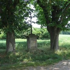
Boží muka u silnice Encovany - Třebutičky
914 m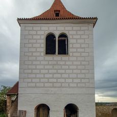
Zvonice u kostela v Hrušovanech
1.9 km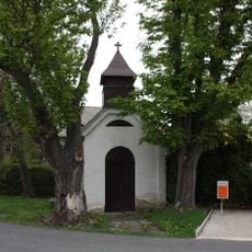
Kaplička ve středu obce Třebutičky
1.4 km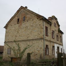
Fara Hrušovany
1.8 km
Holý vrch
1.7 km
Rozcestník u silnice Encovany - Třebutičky u odbočky polních cest
898 mReviews
Visited this place? Tap the stars to rate it and share your experience / photos with the community! Try now! You can cancel it anytime.
Discover hidden gems everywhere you go!
From secret cafés to breathtaking viewpoints, skip the crowded tourist spots and find places that match your style. Our app makes it easy with voice search, smart filtering, route optimization, and insider tips from travelers worldwide. Download now for the complete mobile experience.

A unique approach to discovering new places❞
— Le Figaro
All the places worth exploring❞
— France Info
A tailor-made excursion in just a few clicks❞
— 20 Minutes