
Týn nad Bečvou, protected area in Czech Republic
Location: Hranice
Inception: 2012
GPS coordinates: 49.52701,17.64237
Latest update: March 17, 2025 00:20
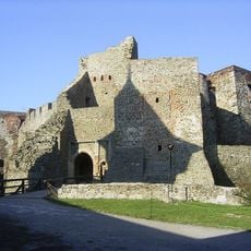
Helfštýn
1.4 km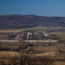
Jezernice Viaduct
1.4 km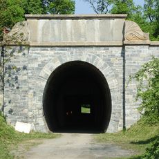
Slavíčský tunel
2 km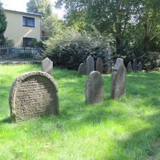
Old jewish cemetery in Lipník nad Bečvou
3.8 km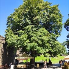
Jírovec na Helfštýně
1.5 km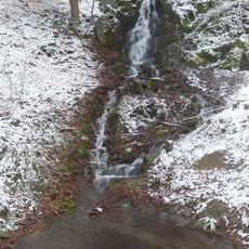
Vodopád U Rybářů
3.6 km
Škrabalka
3.2 km
Bukoveček
3.4 km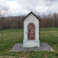
Chapel of Saint Hubertus
3.3 km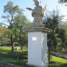
Socha svatého Jana Nepomuckého
3.6 km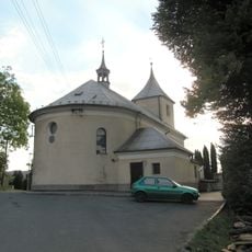
Church of the Assumption of the Virgin Mary
2.2 km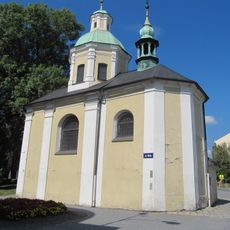
Chapel of Saint Joseph
3.8 km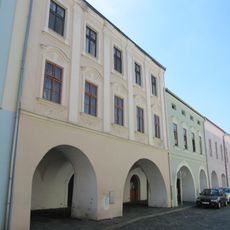
Dům čp. 26
3.9 km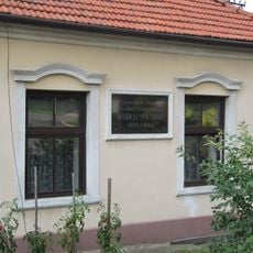
Pamětní deska Bedřicha Smetany na rodinném domě
2.1 km
Dům čp. 28
3.9 km
Dům čp. 601
3.9 km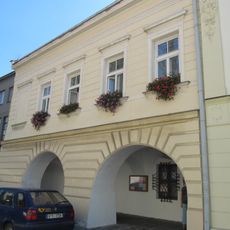
Dům čp. 602
3.9 km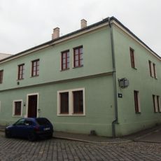
Dům čp. 35
3.9 km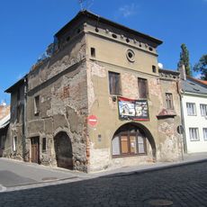
Dům čp. 33
3.9 km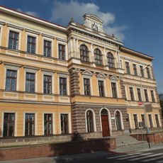
Škola
3.9 km
Dům čp. 607
3.9 km
Dům čp. 25
3.9 km
Vila Františka Wawerky
3.8 km
Pošta
3.8 km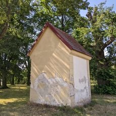
Kaple Nanebevzetí Panny Marie
3 km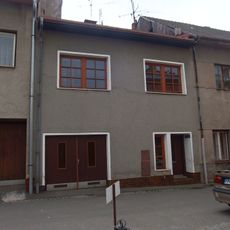
Dům čp. 608
3.9 km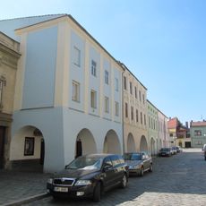
Dům čp. 27
3.9 km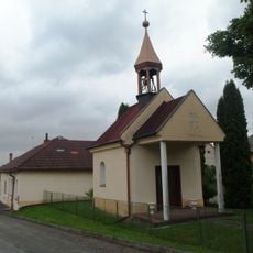
Chapel of Saint Wenceslaus
3.8 kmVisited this place? Tap the stars to rate it and share your experience / photos with the community! Try now! You can cancel it anytime.
Discover hidden gems everywhere you go!
From secret cafés to breathtaking viewpoints, skip the crowded tourist spots and find places that match your style. Our app makes it easy with voice search, smart filtering, route optimization, and insider tips from travelers worldwide. Download now for the complete mobile experience.

A unique approach to discovering new places❞
— Le Figaro
All the places worth exploring❞
— France Info
A tailor-made excursion in just a few clicks❞
— 20 Minutes