
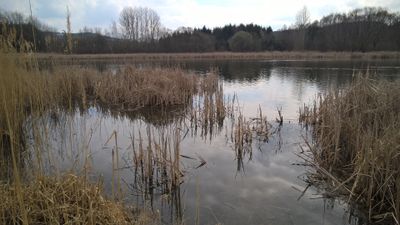
Horní solopyský rybník, protected area in Czech Republic
Location: Solopysky
Inception: August 30, 2013
Founders: Central Bohemian Region
GPS coordinates: 49.65467,14.39210
Latest update: April 1, 2025 07:03
Windmill in Příčovy
2.4 km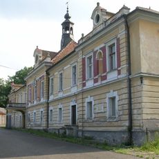
Třebnice Castle
2.2 km
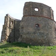
Příčovy Castle
2 km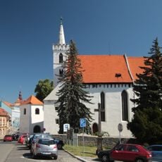
Church of Saint Martin
2.4 km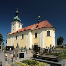
Church of the Assumption of the Virgin Mary (Sedlčany)
2.4 km
Tvrz Ústupenice
2.3 km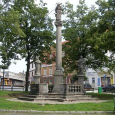
Maria column in Sedlčany
2.4 km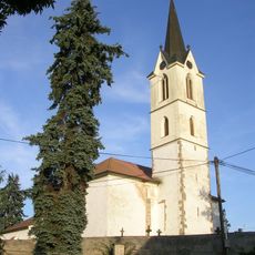
Holy Trinity Church
2.9 km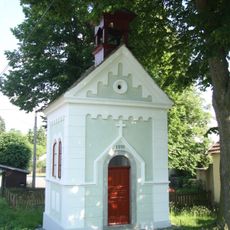
Chapel of Our Lady
2.5 km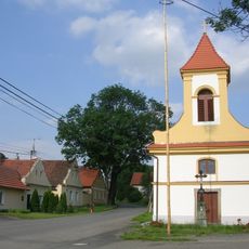
Chapel of Transfiguration
571 m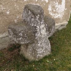
Penitence cross 0349
2.5 km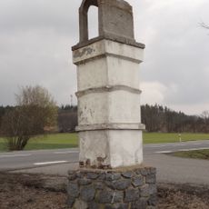
Hronova kaplička
1.1 km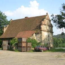
Solopysky Castle
494 m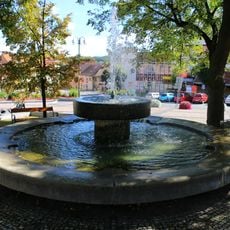
Fountain in Sedlčany
2.4 km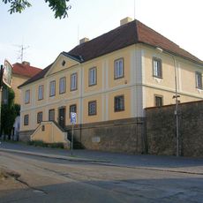
Děkanství
2.4 km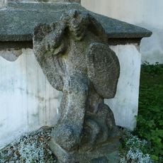
Socha u kostela svatého Martina v Sedlčanech
2.4 km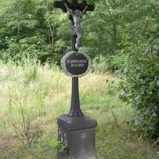
Křížek Sedlčany- u vodojemu
1.5 km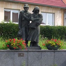
Lidé bez domova
2.4 km
Kříž u kaple v Třebnici
2.4 km
Boží muka u zříceniny větrného mlýna západně od Příčov
2.4 km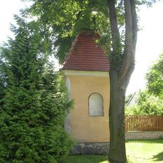
Chapel in Oříkov
1.6 km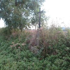
Kříž severně od Sedlčan
2.4 km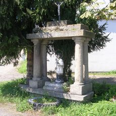
Křížek v Třebnicích
2.1 km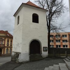
Bell tower in Sedlčany
2.4 km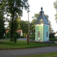
Chapel in Břekova Lhota
2 km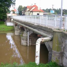
Bridge of Nádražní street in Sedlčany
2.7 km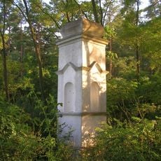
Kaplička nad Břekovou Lhotou
2.4 km
Most silnice III/10230 přes potok v Solopyskách
712 mReviews
Visited this place? Tap the stars to rate it and share your experience / photos with the community! Try now! You can cancel it anytime.
Discover hidden gems everywhere you go!
From secret cafés to breathtaking viewpoints, skip the crowded tourist spots and find places that match your style. Our app makes it easy with voice search, smart filtering, route optimization, and insider tips from travelers worldwide. Download now for the complete mobile experience.

A unique approach to discovering new places❞
— Le Figaro
All the places worth exploring❞
— France Info
A tailor-made excursion in just a few clicks❞
— 20 Minutes