
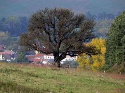
Hrušeň obecná, memorable tree in Uherské Hradiště District, Czech Republic
Location: Uherské Hradiště
Height: 10 m
GPS coordinates: 49.02622,17.50915
Latest update: April 2, 2025 18:12
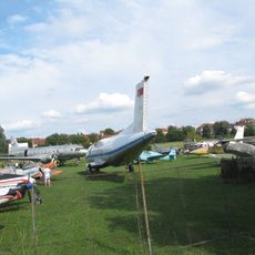
Slovácké letecké muzeum
3.8 km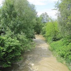
Olšava
2.1 km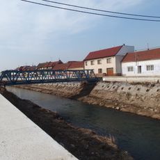
Most přes Olšavu v Kunovicích proti čp. 204
3.5 km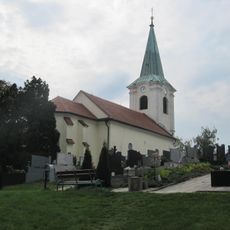
Church of the Nativity of the Virgin Mary
3.5 km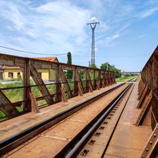
Železniční most přes Olšavu v Kunovicích
4.1 km
Most silnice III/05016 přes Olšavu v Podolí
2.4 km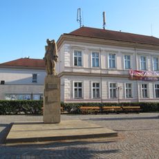
Pomník Rudé armády
3.6 km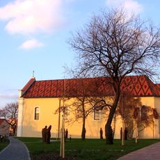
Church of Saints Peter and Paul
3.6 km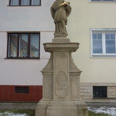
Statue of John of Nepomuk in Sady
3.4 km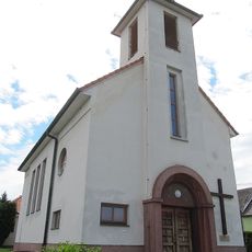
Church of Saint Agnes of Bohemia
1.3 km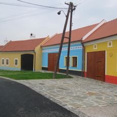
Usedlost čp. 283
4.3 km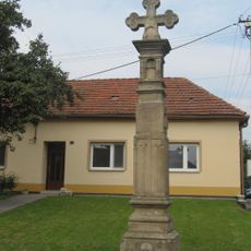
Boží muka
3.4 km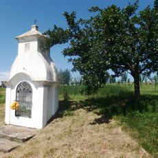
Výklenková kaplička - poklona
3.5 km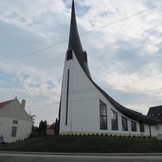
Chapel of Holy Spirit
2.2 km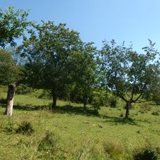
Stráně u Popovic
2.9 km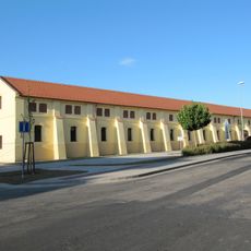
Zemědělský dvůr panský
3.6 km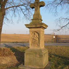
Krucifix
3.8 km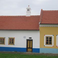
Usedlost čp. 284
4.3 km
Vinná búda
4.3 km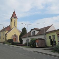
Church of the Virgin Mary of the Rosary
3.2 km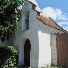
Chapel of Virgin Mary
3.6 km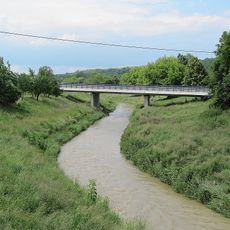
Western bridge of road I/50 over the Olšava in Veletiny
4.3 km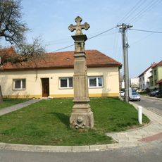
Kříž v Sadech v ulici Pod Lipkami
3.4 km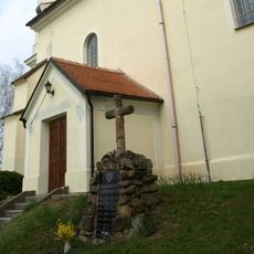
Pomník padlým v Sadech u kostela
3.5 km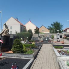
Cemetery in Popovice
2.9 km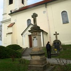
Kříž v Sadech u kostela
3.5 km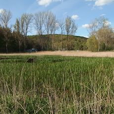
Popovické rybníky
4.3 km
Most silnice I/50 přes podjezd Na Drahách - Škrabalka
3.7 kmReviews
Visited this place? Tap the stars to rate it and share your experience / photos with the community! Try now! You can cancel it anytime.
Discover hidden gems everywhere you go!
From secret cafés to breathtaking viewpoints, skip the crowded tourist spots and find places that match your style. Our app makes it easy with voice search, smart filtering, route optimization, and insider tips from travelers worldwide. Download now for the complete mobile experience.

A unique approach to discovering new places❞
— Le Figaro
All the places worth exploring❞
— France Info
A tailor-made excursion in just a few clicks❞
— 20 Minutes