
Lípa u silnice, memorable tree in Třebíč District, Czech Republic
Location: Želetava
Height: 17 m
GPS coordinates: 49.15021,15.67123
Latest update: March 4, 2025 06:01

Chapel of Saint Catherine
1.1 km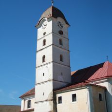
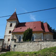
Church of Saint Michael
802 m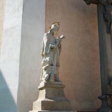
Socha sv. Jana Nepomuckého u kostela sv. Michaela v Želetavě
808 m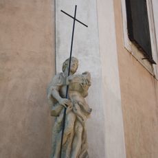
Socha sv. Jana Křtitele u kostela sv. Michaela v Želetavě
805 m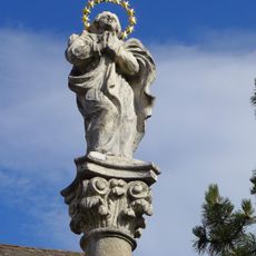
Maria column in Želetava
898 m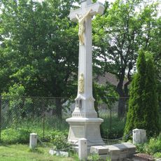
Kříž na křižovatce v Bítovánkách
1.4 km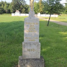
Kříž u hřbitova u Horek
2.8 km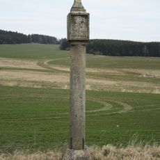
Boží muka
934 m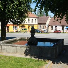
Kašna
871 m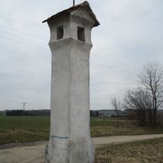
Boží muka
898 m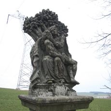
Sousoší Piety
1.6 km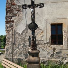
Hřbitovní kříž na Želetavském hřbitově
1.1 km
Socha dělníků v Želetavě
626 m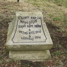
Torzo kříže u Lip u Želetavy
9 m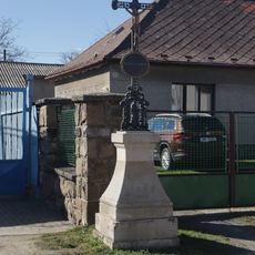
Kříž v části Chalupy v Lesné
2.9 km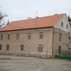
Old Castle Fortress
320 m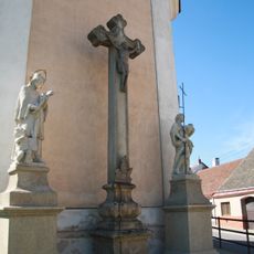
Kříž u kostela sv. Michaela
807 m
Chapel in Lesná
2.4 km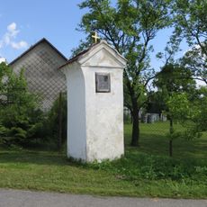
Kaplička v Šašovicích
2.9 km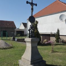
Kříž v části Ves v Lesné
2.3 km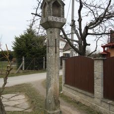
Boží muka
1.3 km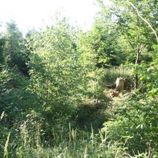
Dašovice
3.1 km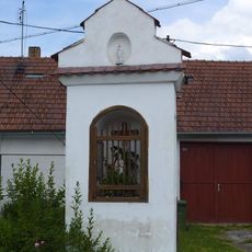
Výklenková kaplička - poklona
3.1 km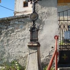
Wayside cross near Chapel of Saint Catherine
1.1 km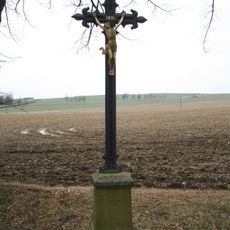
Kříž u Lip u Želetavy
7 m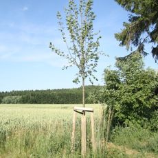
Lípa Vysočiny
2.6 km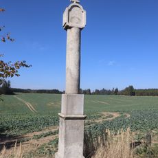
Boží muka u Lesné
1.9 km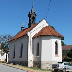
Chapel of Virgin Mary of the Rosary
2.8 kmReviews
Visited this place? Tap the stars to rate it and share your experience / photos with the community! Try now! You can cancel it anytime.
Discover hidden gems everywhere you go!
From secret cafés to breathtaking viewpoints, skip the crowded tourist spots and find places that match your style. Our app makes it easy with voice search, smart filtering, route optimization, and insider tips from travelers worldwide. Download now for the complete mobile experience.

A unique approach to discovering new places❞
— Le Figaro
All the places worth exploring❞
— France Info
A tailor-made excursion in just a few clicks❞
— 20 Minutes