
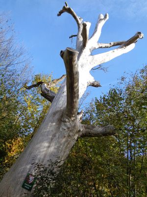
Vendryňský černý topol u Kopytné, memorable tree in Frýdek-Místek District, Czech Republic
Location: Vendryně
Height: 30 m
GPS coordinates: 49.61854,18.70686
Latest update: March 23, 2025 14:11
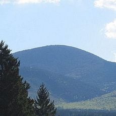
Ostrý
4.1 km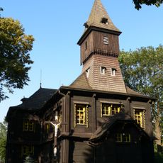
Church of the Exaltation of the Holy Cross
2.4 km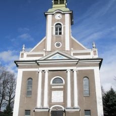
Lutheran church in Bystřice
2.6 km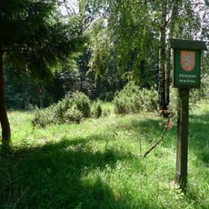
Filipka
5.6 km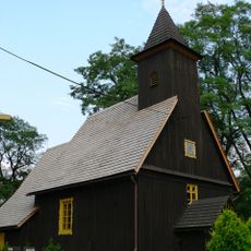
Saint Nicholas Church (Nýdek)
5.7 km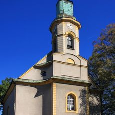
Lutheran church in Návsí
5.1 km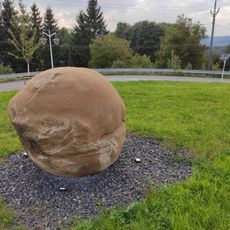
Kamenná koule
4.1 km
Čerňavina
4.1 km
Zbór Śląskiego Kościoła Ewangelickiego Augsburskiego Wyznania w Nawsiu
5.1 km
Rohovec
4.7 km
Farní sbor Slezské církve evangelické augsburského vyznání v Oldřichovicích
4.3 km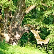
Gródecka lipa
1.5 km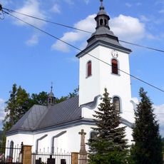
Parafia św. Katarzyny w Wędryni
5.4 km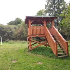
Ptačí pozorovatelna Girov
2.6 km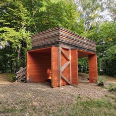
Přístřešek s ochozem Zamčiska
2.3 km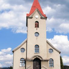
Lutheran church in Hrádek
2.4 km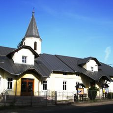
Lutheran church
4.3 km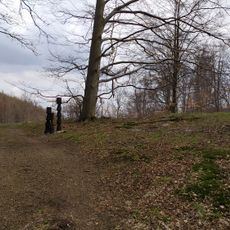
Cmentarz psów w Wędryni
3 km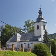
Saint Catherine of Alexandria church
5.4 km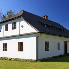
Former Lutheran school in Návsí
5.1 km
Jasan ztepilý v Oldřichovicích
3.6 km
Hradiště Zámcisko
5.1 km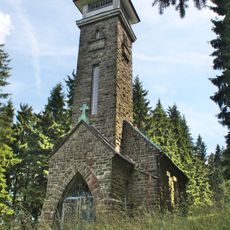
Chapel of Saint Anne
5.8 km
Evangelical church in Hrádek
3.2 km
Usedlost čp. 148
5.2 km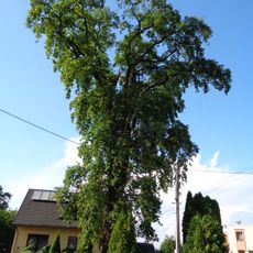
Dub v Oldřichovicích
4.4 km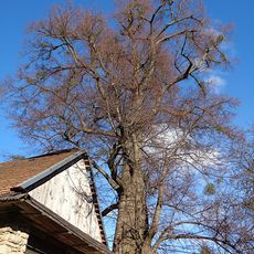
Lípa v Tyře
4.7 km
Oldřichovický jírovec
5.5 kmReviews
Visited this place? Tap the stars to rate it and share your experience / photos with the community! Try now! You can cancel it anytime.
Discover hidden gems everywhere you go!
From secret cafés to breathtaking viewpoints, skip the crowded tourist spots and find places that match your style. Our app makes it easy with voice search, smart filtering, route optimization, and insider tips from travelers worldwide. Download now for the complete mobile experience.

A unique approach to discovering new places❞
— Le Figaro
All the places worth exploring❞
— France Info
A tailor-made excursion in just a few clicks❞
— 20 Minutes