
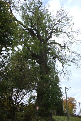
Křišťanovický jasan, memorable tree in Bruntál District, Czech Republic
Location: Křišťanovice
Height: 27 m
GPS coordinates: 49.84731,17.51064
Latest update: April 21, 2025 06:57
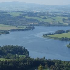
Slezská Harta Reservoir
7.2 km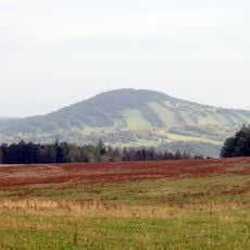
Nationales Naturdenkmal Alter Rautenberg
4.8 km
Slunečná
5.9 km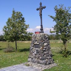
Pomník obětem bitvy u Guntramovic
7 km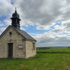
Chapel of Saint John of Nepomuk
7 km
Lovecký zámeček Nové Valteřice
3 km
Malý Roudný
3.7 km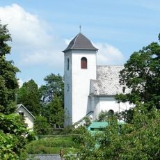
Church of Saint James the Greater
7 km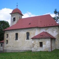
Church of the Assumption of the Virgin Mary
2.7 km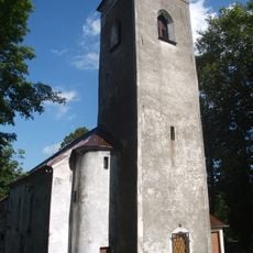
Church of Saint George in Lomnice
7.4 km
Chapel of Saint Michael
7.1 km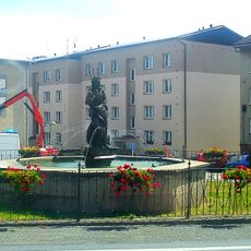
Kašna se sochou Neptuna
3.1 km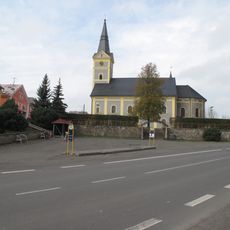
Church of Saint Giles (Dvorce)
3 km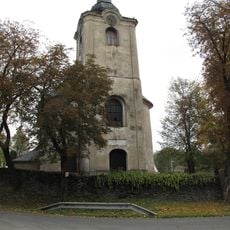
Kostel svaté Markéty
4.5 km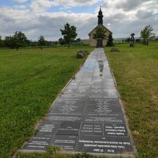
Cesta Česko-německého porozumění
7 km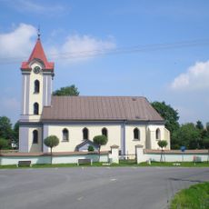
Church of Saint Michael
5.5 km
Dům čp. 27
7.4 km
Fara
3 km
School in Májůvka
3.4 km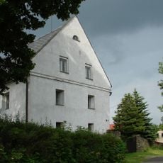
Bývalá fara
7 km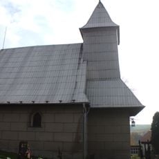
Kaple svaté Kateřiny
3.3 km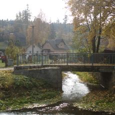
Most Lípové ulice přes Lobník
3.3 km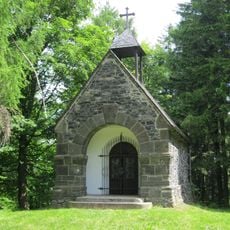
Chapel of Saints Peter and Paul at Velký Roudný
5 km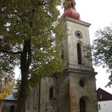
Church of the Visitation of the Virgin Mary in Křišťanovice
569 m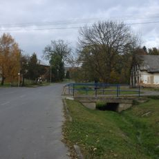
Most místní komunikace k čp. 25 přes Křišťanovický potok v Křišťanovicích
112 m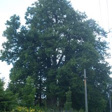
Lomnická lípa
7.4 km
Battle of Guntramovice memorial
7 km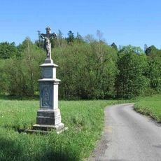
Boží muka na východním okraji obce při silnici na Budišov nad Budišovkou
7.3 kmReviews
Visited this place? Tap the stars to rate it and share your experience / photos with the community! Try now! You can cancel it anytime.
Discover hidden gems everywhere you go!
From secret cafés to breathtaking viewpoints, skip the crowded tourist spots and find places that match your style. Our app makes it easy with voice search, smart filtering, route optimization, and insider tips from travelers worldwide. Download now for the complete mobile experience.

A unique approach to discovering new places❞
— Le Figaro
All the places worth exploring❞
— France Info
A tailor-made excursion in just a few clicks❞
— 20 Minutes