
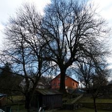
Hrušeň v Mirkovicích, memorable tree in Český Krumlov District, Czech Republic
Location: Mirkovice
Height: 19 m
GPS coordinates: 48.79480,14.39104
Latest update: November 11, 2025 21:43
Jasan v Přídolí
2.8 km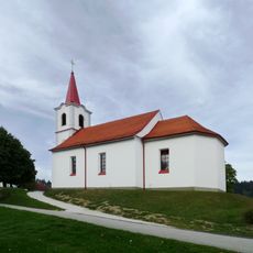
Church of Saint Anne
2.5 km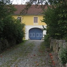
Zahrádka 8 (Mirkovice)
2.4 km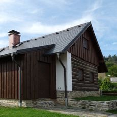
Usedlost čp. 12
1.1 km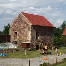
Špýchar usedlosti čp. 1
2 km
Přídolí No.19
3.1 km
Wayside shrine, Christianity
2.5 km
Wayside cross, Christianity
1.2 km
Christianity, Catholic church building, wayside cross
2.7 km
Christianity, wayside shrine
1.9 km
Wayside cross, Christianity
2.3 km
Christianity, wayside cross
2.6 km
Wayside shrine
3 km
Wayside shrine, Christianity
3 km
Scenic viewpoint
2.1 km
Wayside shrine, Christianity
2.2 km
Wayside shrine, Christianity
2.7 km
1905
2.5 km
Pomník obětem 1. světové války
1.2 km
Christianity, wayside cross
3.1 km
Wayside cross, Christianity
80 m
Memorial, war memorial
2.3 km
Wayside shrine
32 m
Wayside cross, Christianity
2.7 km
Wayside shrine, Christianity
2.2 km
Sv. Jan Nepomucký
2.3 km
Wayside cross
2.1 km
Wayside shrine
2 kmReviews
Visited this place? Tap the stars to rate it and share your experience / photos with the community! Try now! You can cancel it anytime.
Discover hidden gems everywhere you go!
From secret cafés to breathtaking viewpoints, skip the crowded tourist spots and find places that match your style. Our app makes it easy with voice search, smart filtering, route optimization, and insider tips from travelers worldwide. Download now for the complete mobile experience.

A unique approach to discovering new places❞
— Le Figaro
All the places worth exploring❞
— France Info
A tailor-made excursion in just a few clicks❞
— 20 Minutes