
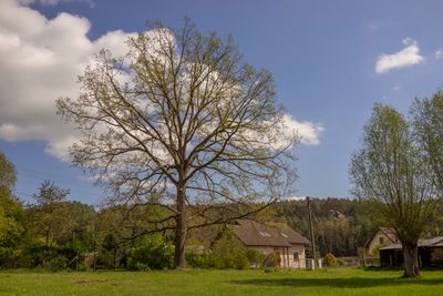
Pavlínin dub u Mlýnice, memorable tree in Semily District, Czech Republic
Location: Olešnice
Height: 23 m
GPS coordinates: 50.53268,15.12014
Latest update: March 14, 2025 05:59
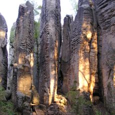
Landschaftsschutzpark Böhmisches Paradies
2.1 km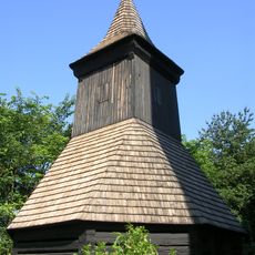
Bell tower in Vyskeř
2.8 km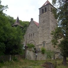
Church of the Assumption of the Virgin Mary
2.8 km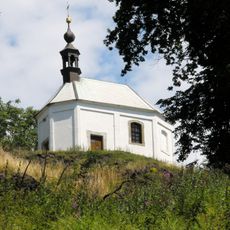
Chapel of Saint Anne
2.8 km
Žehrovská obora
2.4 km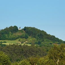
Vyskeř
2.8 km
Vústra
2.9 km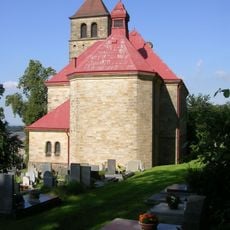
Římskokatolická farnost Vyskeř
2.8 km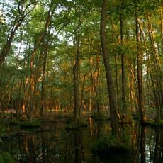
V Dubech
2 km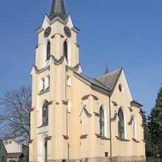
Chapel of the Visitation
2.8 km
Vyhlídka na Bezděz
2.3 km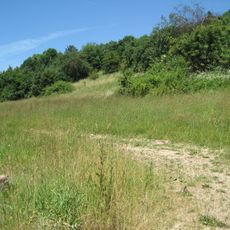
Meziluží
2.4 km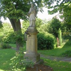
Socha svatého Jana Nepomuckého
2.7 km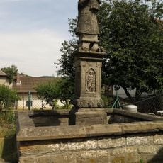
Statue of Virgin Mary of Bozkov in Olešnice
1.5 km
Sluneční kaple
2.7 km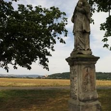
Socha svatého Jana Nepomuckého
2.3 km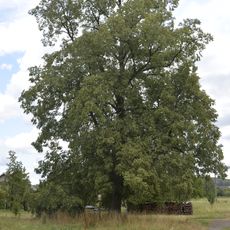
Tilia by fishermen
2.6 km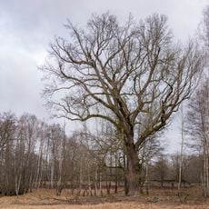
Dub v Dubech
2 km
Usedlost čp. 57
2.9 km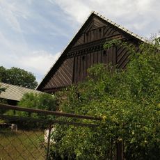
Usedlost čp. 16
1.5 km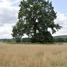
Havlíček´s oak in Žďár
2 km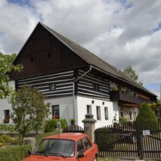
Žďár 7
2.4 km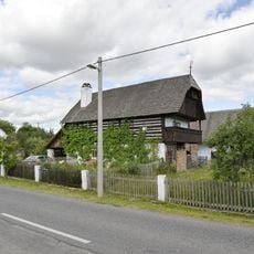
Žďár 10
2.5 km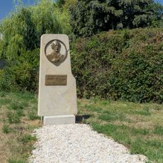
Pomník Josefa Nesvadby-Hamáčka ve Vyskeři
2.6 km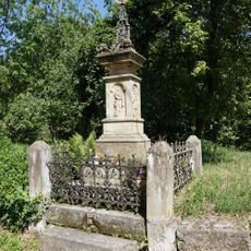
Wayside cross
2.1 km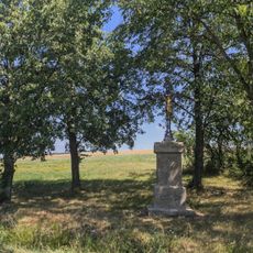
Kříž u silnice severně od Vyskeře
2.3 km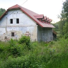
Podvyskeřský mlýn
2.2 km
Vysoké Kolo
1.5 kmReviews
Visited this place? Tap the stars to rate it and share your experience / photos with the community! Try now! You can cancel it anytime.
Discover hidden gems everywhere you go!
From secret cafés to breathtaking viewpoints, skip the crowded tourist spots and find places that match your style. Our app makes it easy with voice search, smart filtering, route optimization, and insider tips from travelers worldwide. Download now for the complete mobile experience.

A unique approach to discovering new places❞
— Le Figaro
All the places worth exploring❞
— France Info
A tailor-made excursion in just a few clicks❞
— 20 Minutes